Where Are the Canary Islands? Location, Map and Island Guide
The Canary Islands sit in the Atlantic off northwest Africa but belong to Spain. See where each island is, how they connect and which to visit.
On this page
Last updated November 2026. Where are the Canary Islands? They sit in the Atlantic Ocean off the northwest coast of Africa, near Morocco and Western Sahara, yet they are an autonomous community of Spain. Our Canary Islands guide covers the whole trip, and this page settles the geography first.
Featured image: H. Zell, CC BY-SA 3.0, via Wikimedia Commons.
Where the Canary Islands are, in short
The archipelago lies in the Atlantic Ocean, off the northwest coast of Africa. At the nearest point, Fuerteventura and Lanzarote sit roughly 100 km (about 62 miles) west of Morocco's coast. Politically, the islands belong to Spain. Madrid is on the European mainland, so this is a long way from the capital.
- Ocean: Atlantic, off northwest Africa, near Morocco and Western Sahara
- Status: autonomous community of Spain
- Co-capitals: Santa Cruz de Tenerife and Las Palmas de Gran Canaria
- Islands: eight main islands
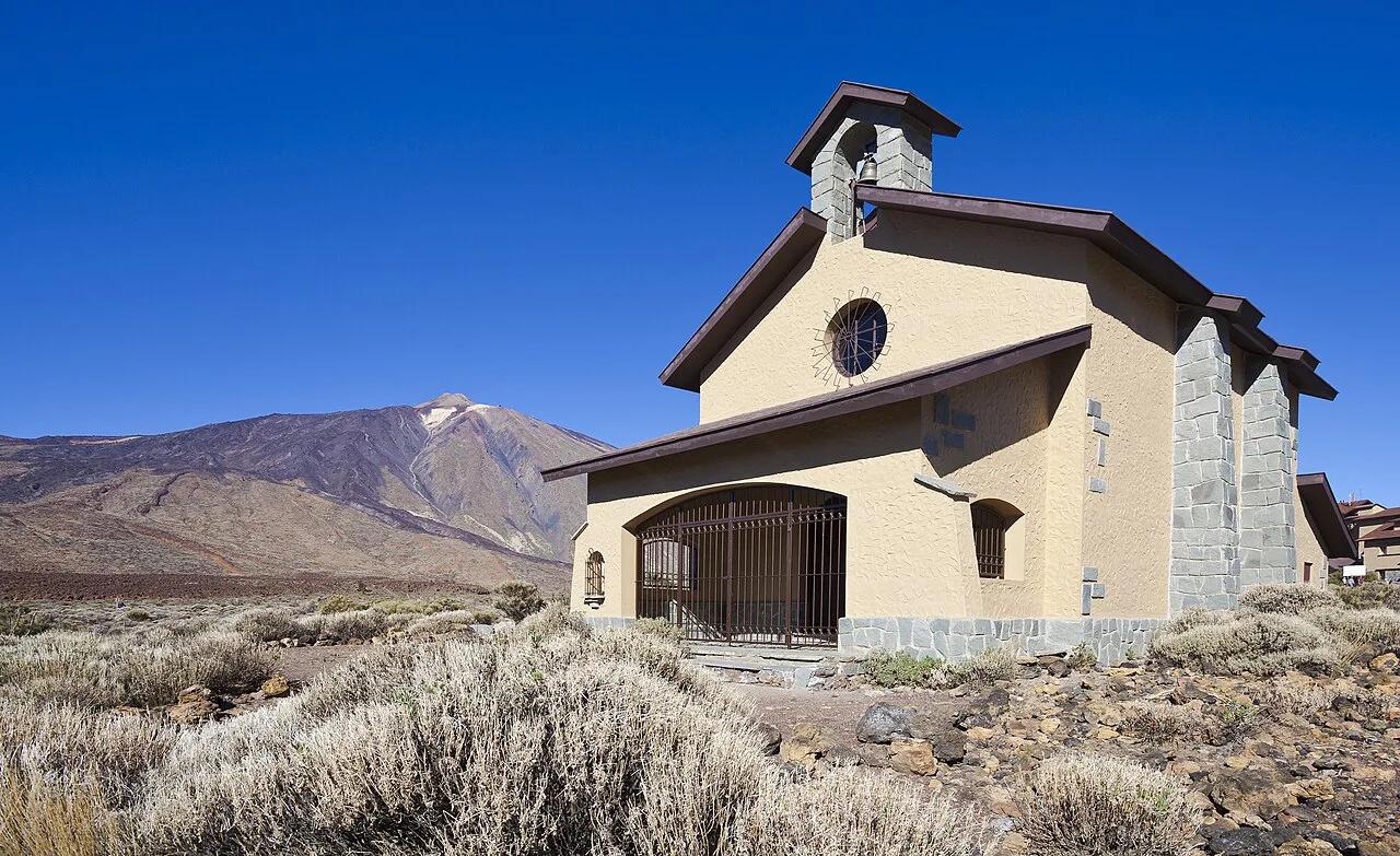
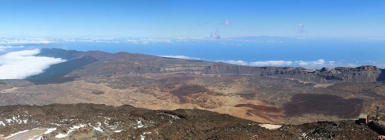
- Highest point: Mount Teide on Tenerife, 3,718 m (12,188 ft), also the highest peak in Spain
- Time zone: WET (UTC+0) in winter and WEST (UTC+1) in summer
- Population: about 2.2 million across roughly 7,493 km²
Canary Islands map: the eight islands at a glance
We count eight main islands, because La Graciosa now counts as its own island. Some older sources list seven. Our Canary Islands count page explains the difference. For a visual layout, open the Canary Islands Map: All 7 Islands and How They Connect. The table below groups each island by position, from east to west.
| Island | Group | Airport | Character |
|---|---|---|---|
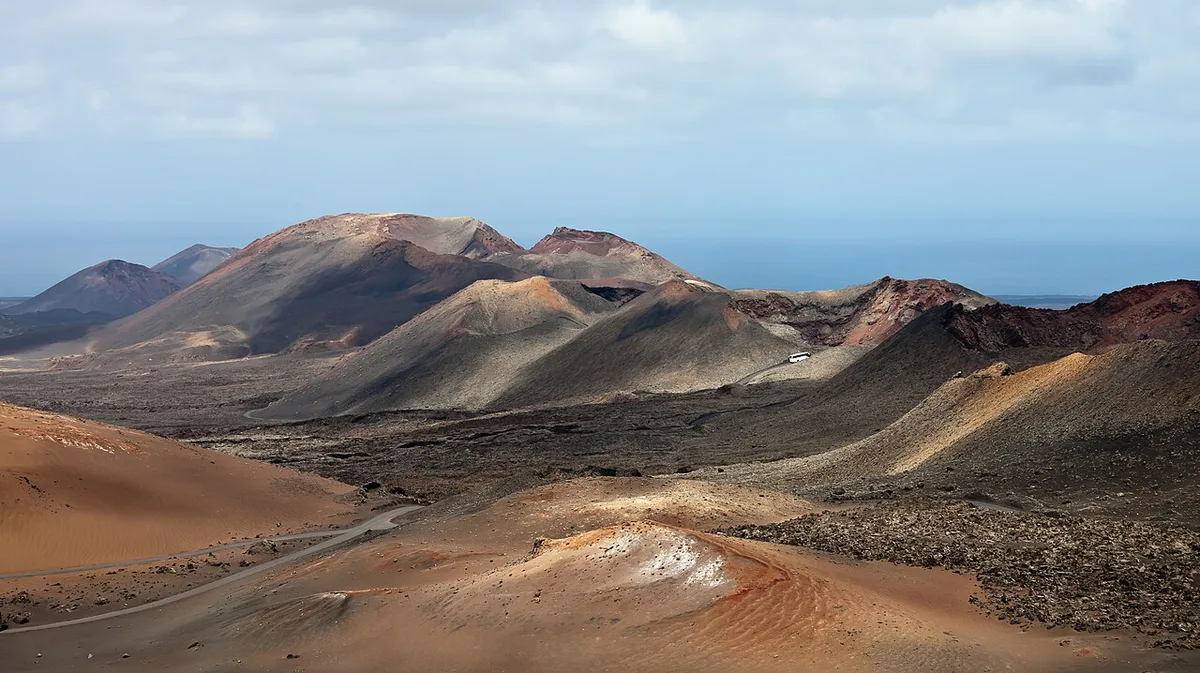
| Lanzarote | East | Yes | Lava fields and Timanfaya National Park |
| Fuerteventura | East | Yes | Long golden beaches and wind sports |
| La Graciosa | East | No, ferry only | Small, car-free feel, just north of Lanzarote |
| Gran Canaria | Central | Yes | Mixed landscapes, dunes at Maspalomas |
| Tenerife | Central | Yes | Mount Teide and the largest island |
| La Gomera | West | Yes | Garajonay laurel forest and hiking |
| La Palma | West | Yes | Green slopes, Caldera de Taburiente, stargazing |
| El Hierro | West | Yes | Smallest and westernmost, quiet and rugged |
Volcanic origins and the natural landscapes of the archipelago
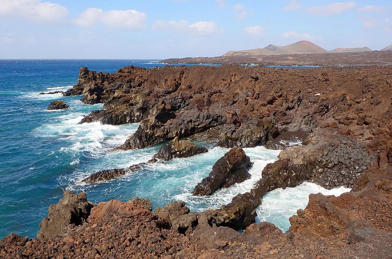
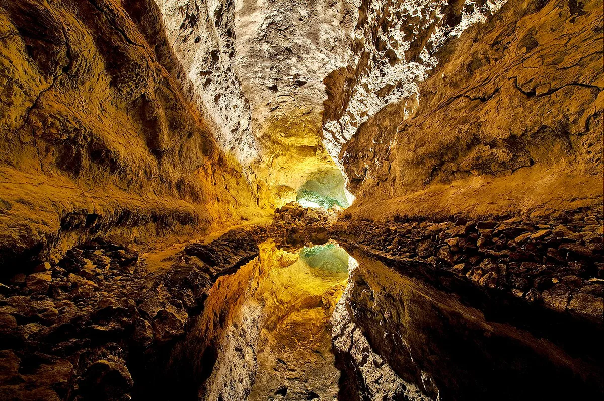
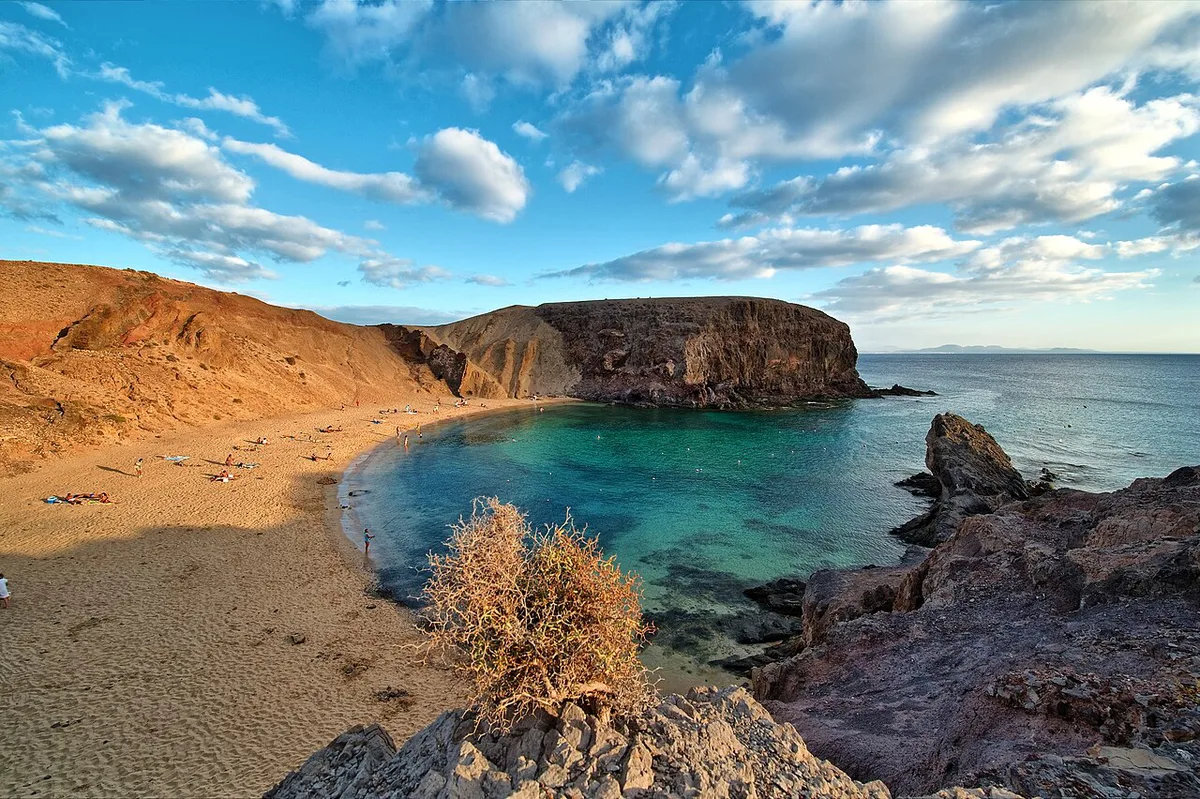
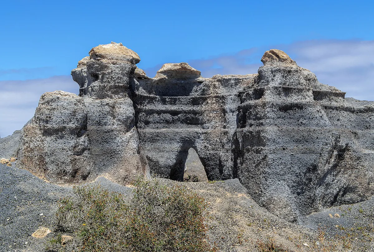
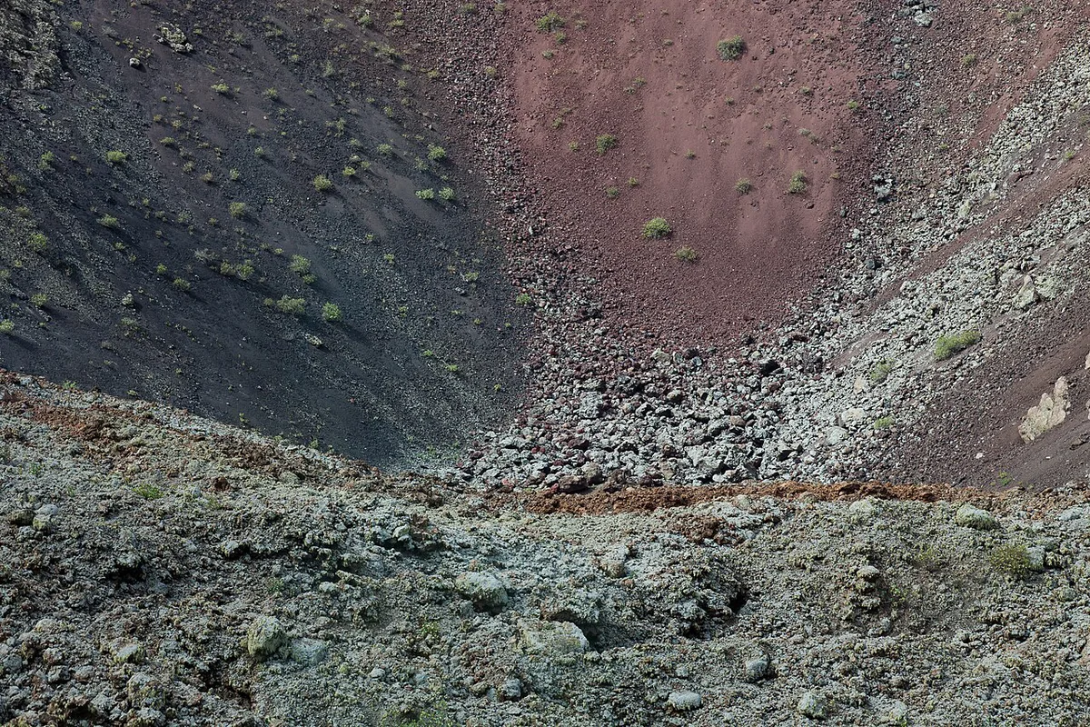
Geography explains why the islands feel so different from each other. All eight are volcanic, built up from the Atlantic seafloor, which is why the coastlines are steep and black-sand beaches are common.
- Tenerife: Mount Teide, at 3,718 m, sits inside Teide National Park. The park is a UNESCO World Heritage Site and lies high above the coastal resorts.
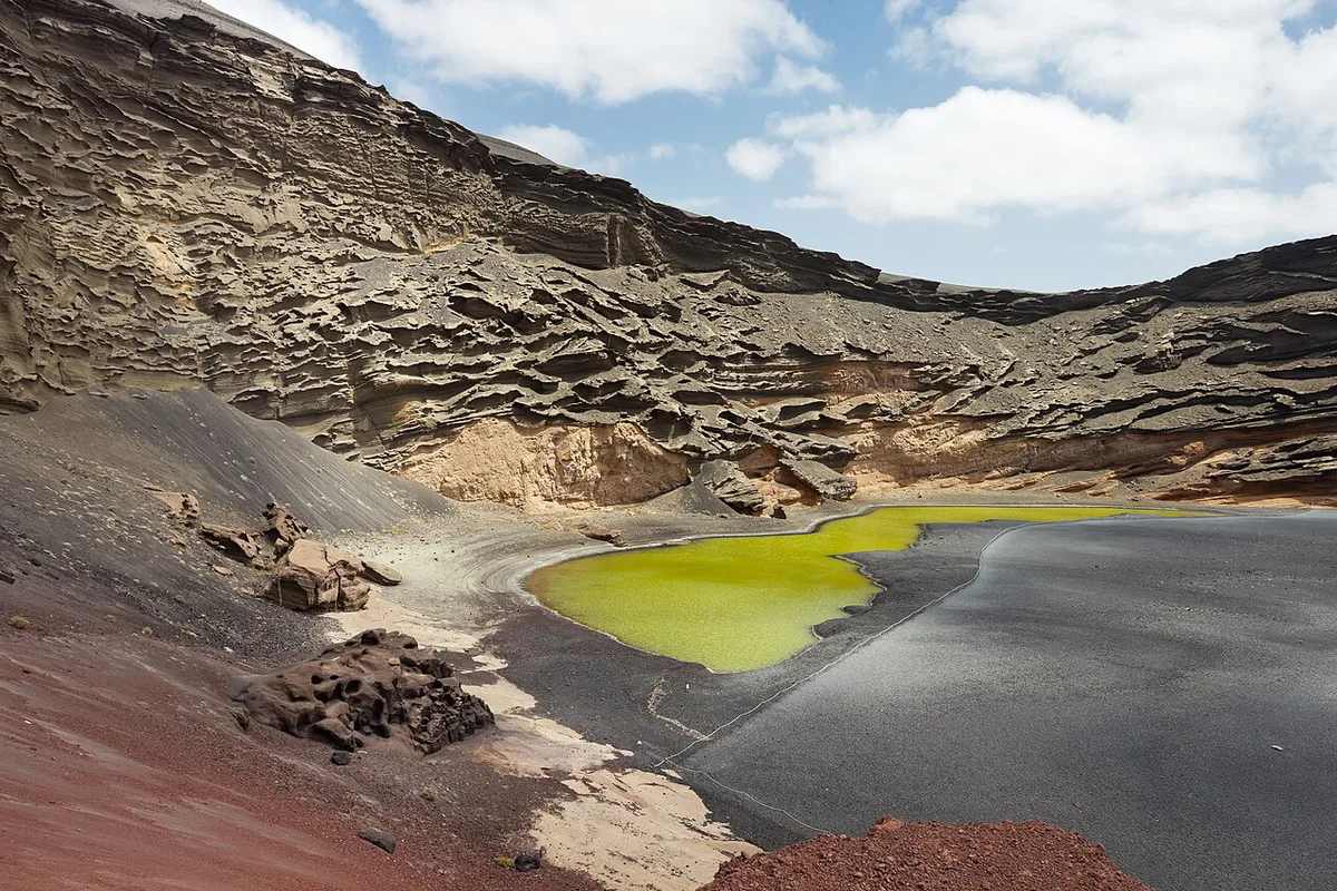
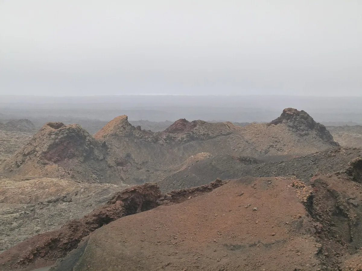
- Lanzarote: Timanfaya National Park preserves the lava fields left by long eruptions in the 1700s.
- La Palma: the Cumbre Vieja ridge erupted for almost three months in a recent eruption, and the island is also known for its clear night skies.
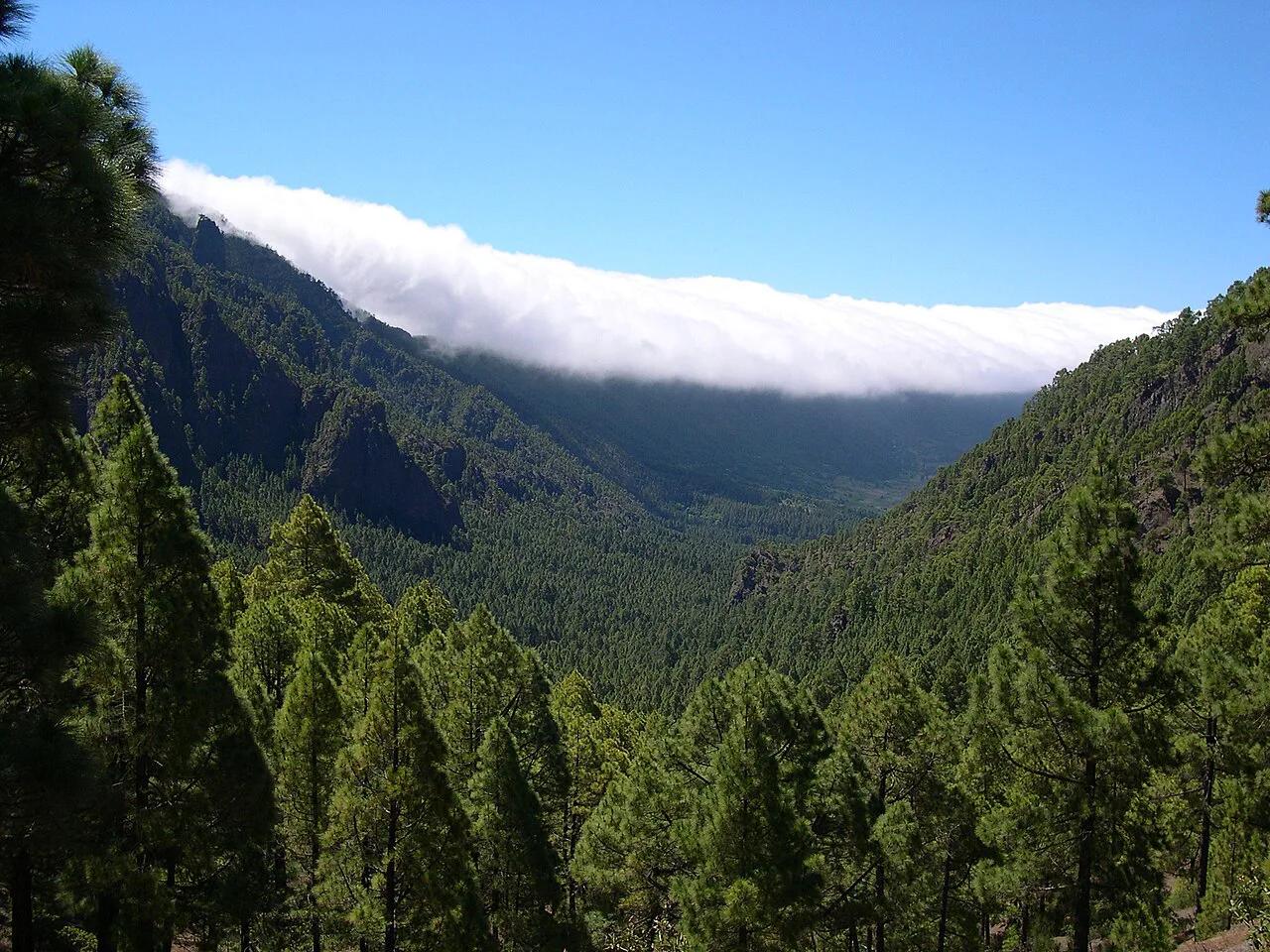
- La Gomera: Garajonay National Park protects one of the best remaining stands of laurel forest, a kind of mist-fed woodland that once covered much of southern Europe.
- El Hierro: the whole island is a UNESCO Biosphere Reserve.
Plants and wildlife
Many plants here exist nowhere else. The Canary Island dragon tree, the Canary pine and the red-flowered Teide bugloss, which blooms on the high slopes of Tenerife, are the best-known examples. The Atlantic setting also brings whales and dolphins to the channel between Tenerife and La Gomera, which is why boat trips from the south of Tenerife are so popular.
Other Atlantic volcanic groups follow a similar pattern. If you enjoy this kind of scenery, the Azores, farther north in the Atlantic, are a comparable Portuguese archipelago.
Are the Canary Islands in Spain or Africa?
Geographically, the islands sit much closer to Africa than to Europe. Politically, they are part of Spain and the EU. The Gobierno de Canarias governs the archipelago as an autonomous community, and the islands became one in 1982. In practice, that means the euro, Spanish as the official language and a +34 phone code. Entry rules follow Spain's. EU citizens can arrive with a valid ID card or passport. Other nationalities should check current Spanish entry rules for their passport.
Spain's +34 phone code applies here, but clocks run one hour behind mainland Spain, so check whether tickets show local departure time.
How the islands are grouped and connected
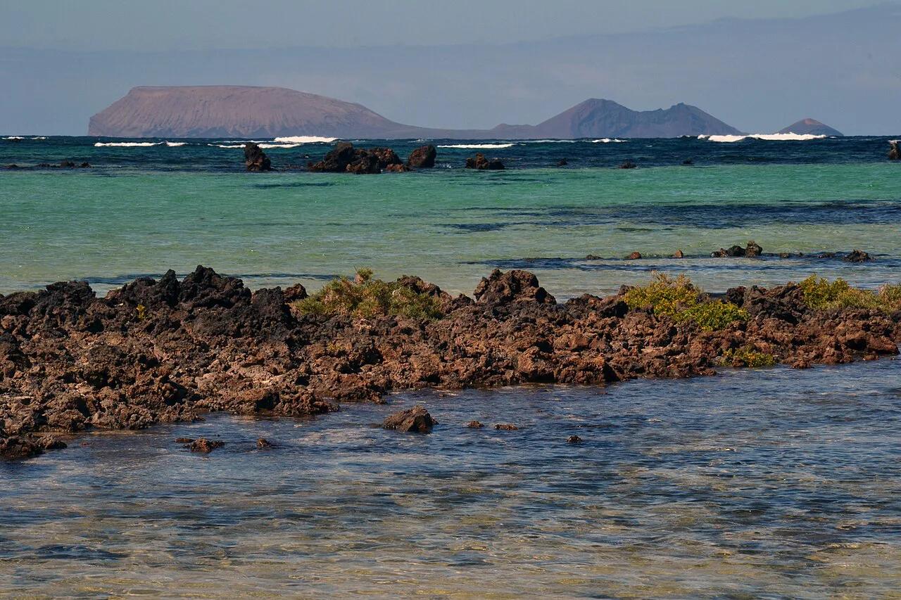
Think of the archipelago in three groups. Lanzarote, Fuerteventura and La Graciosa form the east. Gran Canaria and Tenerife make up the centre. La Gomera, La Palma and El Hierro form the west. Each main island except La Graciosa has its own airport. Binter runs inter-island flights between them. Ferries fill the gaps. Our inter-island ferry guide maps the routes. La Gomera is the classic ferry hop from Tenerife, covered in the Tenerife to La Gomera crossing. Two small islands need a boat. Day boats reach La Graciosa Travel Guide: Ferry, Beaches and Day Trips from Lanzarote, and Isla de Lobos: Ferry, Hikes & Day-Trip Guide sits off Fuerteventura.
Distances: Africa, mainland Spain and between the islands
The map makes the Canaries look close to everything, but the distances differ a lot depending on where you measure from.
- To Africa: Fuerteventura and Lanzarote are the nearest islands, roughly 100 km from the Moroccan coast, as noted above. Tenerife and the western islands are farther out.
- To mainland Spain: the islands lie well over 1,000 km from the southern Spanish coast. Madrid to Tenerife is roughly 1,750 km, which is a flight of around three and a half hours.
- To Madeira: Portuguese Madeira lies to the north-northeast, about 500 km from Tenerife. Our Madeira vs the Canary Islands compares the two for a holiday.
Typical gaps between neighbouring islands
| Route | Gap and how you cross |
|---|---|
| Lanzarote to Fuerteventura | About 10 km of water at the narrowest point; a short ferry from Playa Blanca to Corralejo |
| Lanzarote to La Graciosa | Around 2 km; small passenger ferry only |
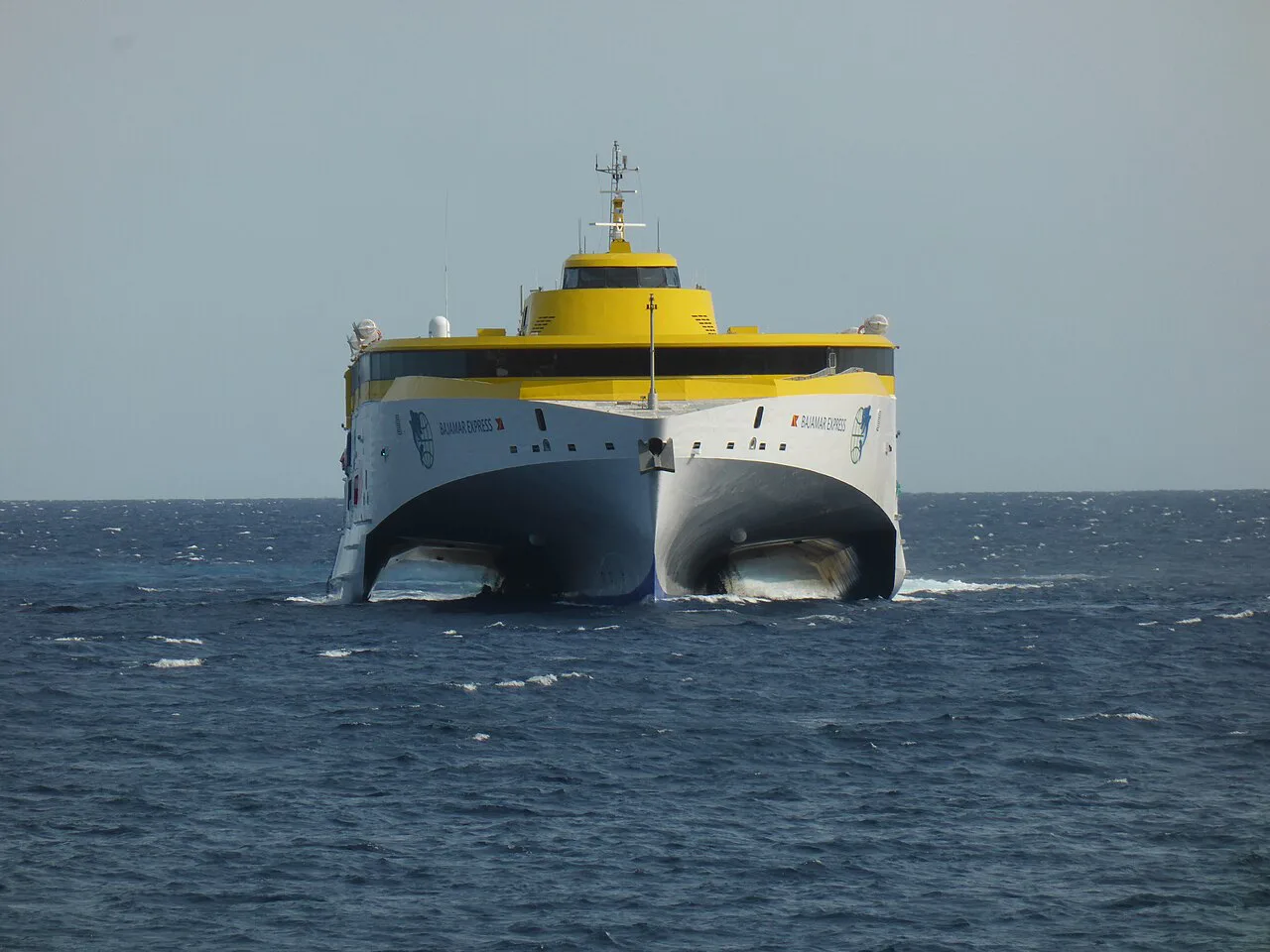
| Tenerife to La Gomera | Roughly 30 km; fast ferry of about 50 minutes |
| Tenerife to Gran Canaria | Roughly 60 km between coasts; a Binter flight or a longer ferry |
| La Palma to El Hierro | Over 100 km of open Atlantic; flights are the practical choice |
Ferry times vary by operator and sea conditions, so check the operator's timetable before you plan a same-day connection.
Getting to the Canary Islands
Most visitors fly in. Tenerife and Gran Canaria are the two largest hubs, and Lanzarote and Fuerteventura also take international flights. Airport details are on the Aena airport site. Because the archipelago is Atlantic, there is no road or rail link to mainland Spain. Flights from the mainland and from other European cities are the normal route. Flight times depend on your departure city and season, so check your airline. The official Canarias tourism site lists current visitor information.
Which island should you look at first?
Pick by the trip you want, not by the map. Our which island is best guide goes deeper. If you are torn between the two biggest, read Tenerife versus Gran Canaria. Skip La Graciosa if you need nightlife or a rental car. Skip El Hierro if you want a long resort strip.
| You want | Start with |
|---|---|
| Big beaches and wind sports | Fuerteventura |
| Volcanic landscapes | Lanzarote or Tenerife |
| Hiking in forest | La Gomera Travel Guide: Day Trip or Overnight? or La Palma |
| Quiet and remote | El Hierro Travel Guide: Getting There, Where to Stay, What to Do |
| A mix of city, dunes and mountains | Gran Canaria |
When to go
The climate is mild all year, with steady trade winds keeping summers comfortable. Elevation changes temperatures a lot, so Mount Teide at 3,718 m feels different from the coast. Calima, warm dust-laden air from the Sahara, can briefly cut visibility and lift temperatures. Month-by-month detail is in our monthly weather guide.
Teide is the highest peak in Spain at 3,718 m (12,188 ft), so temperatures up there can differ a lot from the coast.
Common mistakes when picking islands
Three errors come up often when people plan from the map alone.
- Underestimating inter-island travel: a short line on the map can still mean a ferry timetable or a flight connection.
- Assuming every island has the same beaches and weather: Lanzarote's lava coast and La Gomera's forest are very different places.
- Packing in too many islands: on a one-week trip, two islands is usually plenty.
Why the Canary Islands use a different time zone from mainland Spain
The Canary Islands keep Western European Time, despite belonging to Spain. They use WET (UTC+0) in winter and WEST (UTC+1) in summer. That places the islands one hour behind mainland Spain, which follows Central European time.
This difference matters when you connect through Madrid or arrange a ferry, flight or airport transfer. Check whether a ticket displays local departure time, especially when changing islands. The islands also use Spain’s +34 phone code, but your phone should update to local time automatically after arrival.
Time on the islands follows the sun more closely than in mainland Spain. It is one small practical reminder that the archipelago is Spanish politically, while lying around 100 km from the northwest African coast at its nearest point.
Frequently Asked Questions
What language do they speak in the Canary Islands?
Spanish is the official language, with a Canarian dialect. English is widely spoken in tourist areas.
Useful notes for your next island trip
Optional updates to our guides.
You might also like
Continue reading
More guides you'll find useful