Canary Islands Map: All 7 Islands and How They Connect
See where each Canary Island sits, how the islands connect by ferry and flight, and which ones suit your trip.
On this page
Last updated November 2026: this canary islands map guide places the seven main islands in order from west to east and shows how they connect. The archipelago is Spanish territory in the Atlantic, split into two provinces. Use the tables below to match each island to your trip length and travel style.
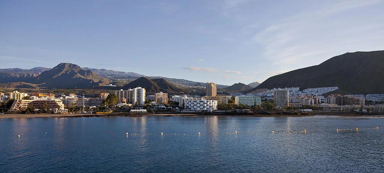
Featured image: Diego Delso, CC BY-SA 3.0, via Wikimedia Commons.
Canary Islands Map at a Glance
Seven main islands make up the archipelago, plus a few smaller islets. Read the chain from west to east using the list below. For the wider geography, see our guide to where the Canary Islands are located. Our island count explainer separates the main islands from the islets. Official visitor information lives on the Islas Canarias tourism site.
- 1. El Hierro: the far western end of the chain.
- 2. La Palma: the next island east of El Hierro.
- 3. La Gomera: sits next to Tenerife and is reached from it by sea.
- 4. Tenerife: the central island of the group.
- 5. Gran Canaria: east of Tenerife, with its own airport and capital city.
- 6. Fuerteventura: the second island from the eastern end.
- 7. Lanzarote: the easternmost main island.
The Two Provinces and Island Groups
Spain splits the archipelago into two provinces, Las Palmas and Santa Cruz de Tenerife. Maps of the islands usually show this split. It helps when you read official notices, since many are issued by province. Terrain and weather also differ between the eastern and western islands. Compare them month by month in our Canary Islands weather guide.
- Las Palmas province: Gran Canaria, Fuerteventura and Lanzarote, plus the small islands of La Graciosa and Isla de Lobos.
- Santa Cruz de Tenerife province: Tenerife, La Palma, La Gomera and El Hierro.
How Far the Canary Islands Are From Spain and Africa
Most maps squeeze the archipelago into an inset box beside mainland Spain, which makes it look close. It is not. The islands sit in the Atlantic roughly 100 km off the coast of southern Morocco at the nearest point, near Fuerteventura and Lanzarote. Mainland Spain is more than 1,000 km to the north-east.
- From mainland Spain: flights from Madrid take about three hours. Spain's ferry links to the mainland are long and infrequent, so almost every visitor flies.
- From the UK and northern Europe: direct flights usually take around four to five hours.
- Time zone: the islands run on Western European Time, one hour behind mainland Spain all year, so clocks change on the same dates but the gap stays constant.
Because the eastern islands are closest to Africa, they are the ones most often shown near the Moroccan coast on regional maps. Fuerteventura and Lanzarote also feel more arid, which fits the terrain differences described above. If you are weighing the archipelago against another Atlantic group, our Madeira vs Canary Islands comparison covers how the two differ in distance, climate and travel style.
Flight times and routes change by season and airline, so check your carrier before booking.
Island-by-Island Map Guide
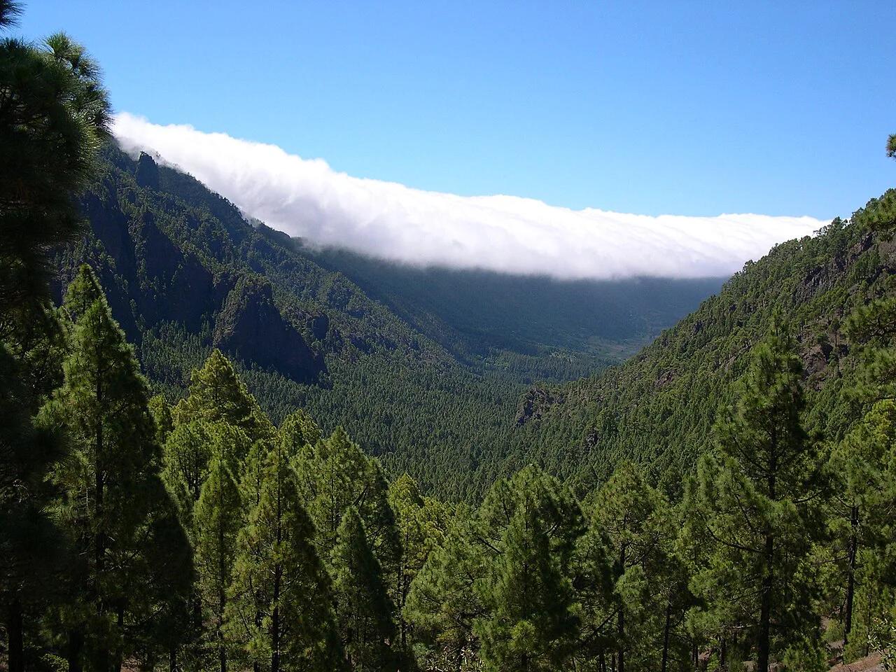
Use this table to turn the map into a shortlist. Sizes are left out on purpose, since official figures belong to the Canary Islands statistics institute. Rankings below are qualitative and reflect our editorial assessment. Hikers can read more on La Gomera Travel Guide: Day Trip or Overnight?, La Palma and El Hierro Travel Guide: Getting There, Where to Stay, What to Do. Choosing between the two biggest hubs is covered in Tenerife versus Gran Canaria. La Gomera's cloud forest is protected as Garajonay National Park.
| Island | Position on the map | Best for | Skip if | Getting there |
|---|---|---|---|---|
| Lanzarote | Far east | Volcanic scenery, short sun breaks | You want forest trails | Own airport at Arrecife |
| Fuerteventura | East, beside Lanzarote | Beaches, wind and water sports | You want green hills | Own airport; boats to Isla de Lobos |
| Gran Canaria | Centre-east | City, beaches and mountain interior in one place | You want total quiet | Own airport |
| Tenerife | Centre | First trips, Teide hiking, big resort areas | You dislike crowds | Two airports, ferry to La Gomera |
| La Gomera | West-centre | Hiking, laurel forest, slow travel | You want nightlife | Ferry from Tenerife |
| La Palma | Northwest | Hikers and stargazers | You need many resort options | Airport and Binter flights |
| El Hierro | Far west | Remote, quiet trips | You want large resorts | Airport and Binter flights |
Smaller Islands and Islets on the Map
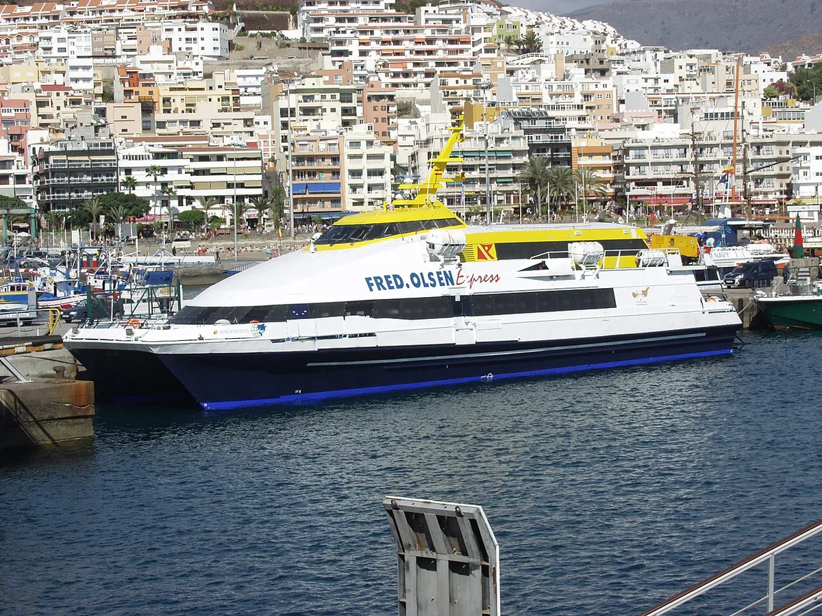
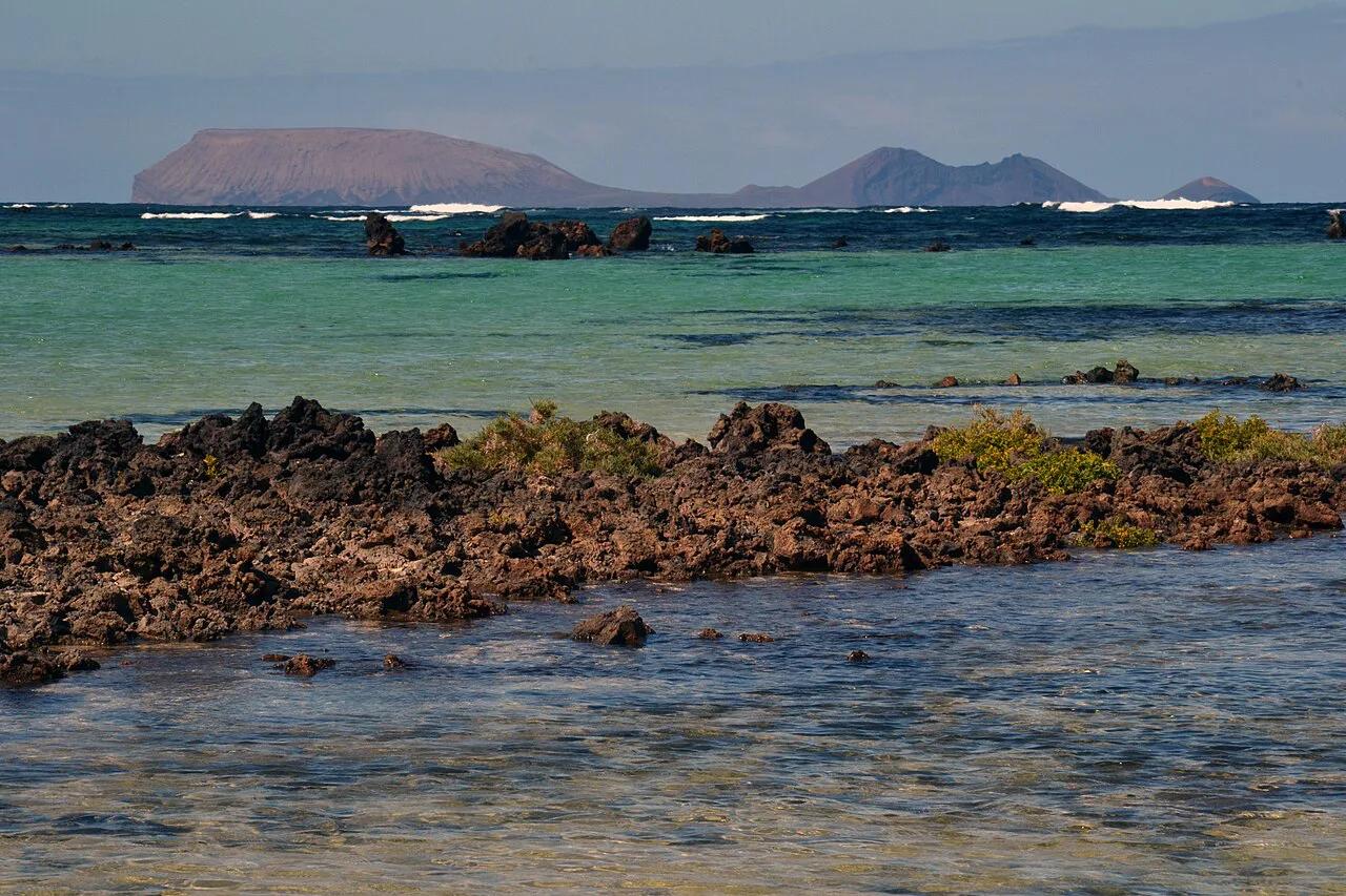
Two small islands are easy to miss on simple maps. La Graciosa lies off the north of Lanzarote and is reached by boat from Lanzarote. Our La Graciosa guide covers the crossing and what to do there. Isla de Lobos sits off the north of Fuerteventura and is also a boat trip from the main island. Read the Isla de Lobos page for access and visitor rules. Both work best as day trips from their neighbor.
How the Islands Connect: Ferries vs Flights
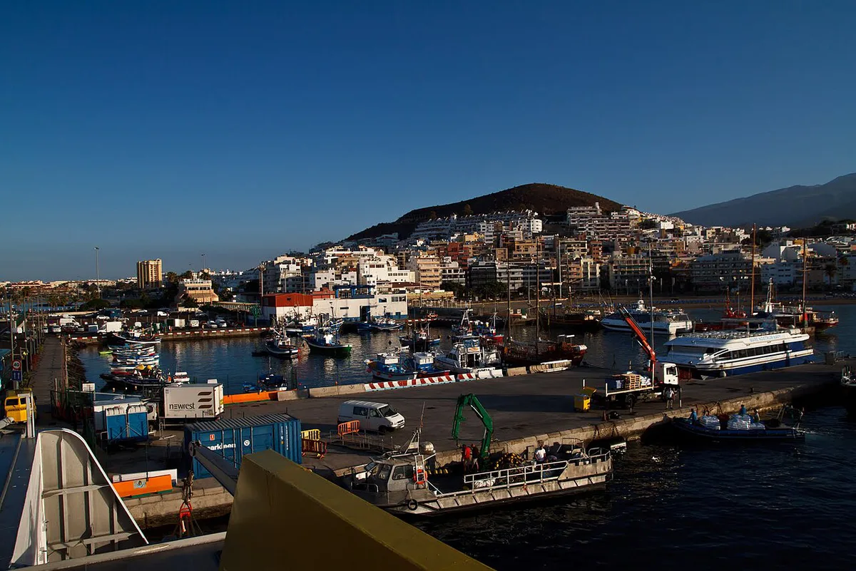
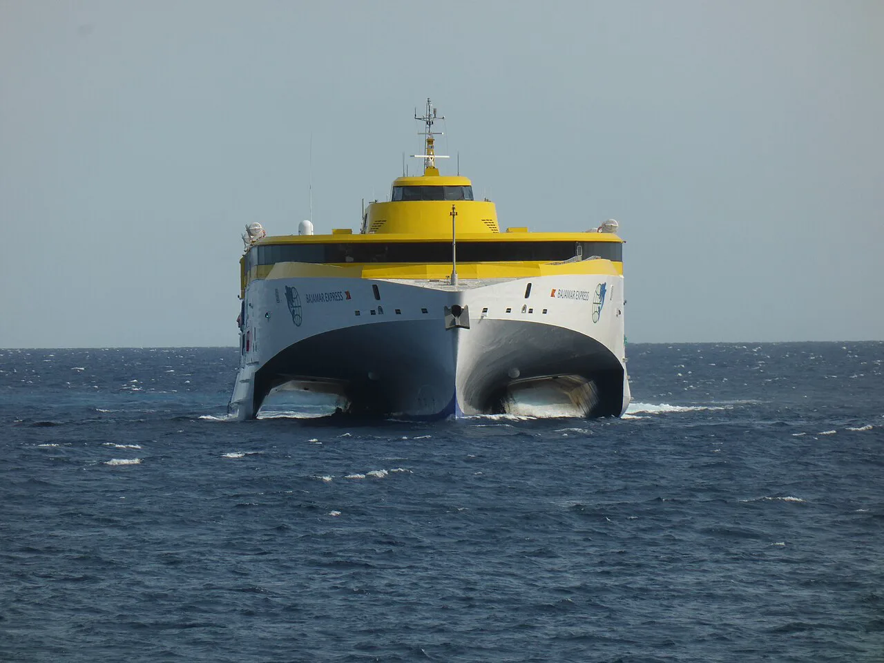
Distances on a map hide the real trade-off. Short sea crossings are easy between some pairs, while other pairs need a flight or a connection through a larger island. Inter-island flights are listed by Binter's route network. Ferry operators and crossing options are compared in our Canary Islands ferry guide. For the most popular hop, read about the Tenerife to La Gomera Ferry: Times, Tickets & Tips. Schedules change by season, so check the operator before booking.
| Island pair | Usual way to connect | Trade-off |
|---|---|---|
| Tenerife to La Gomera | Ferry | Simple sea hop, no airport needed |
| Lanzarote to La Graciosa | Boat from Lanzarote | Day-trip friendly, small island |
| Fuerteventura to Isla de Lobos | Boat from Fuerteventura | Quick excursion, limited services |
| Tenerife to Gran Canaria | Flight or ferry | Both exist; see the ferry guide for options |
| Eastern to western islands | Flight, often with a hub connection | Faster than a long sea trip, but check routes |
| Any island to El Hierro or La Palma | Flight | Fewer connections than the big islands |
Canary Islands Airports on the Map
Six of the seven main islands have a commercial airport, and Tenerife has two. Knowing which airport serves which part of the map saves a lot of transfer time.
| Island | Airport(s) | Notes |
|---|---|---|
| Tenerife | Tenerife South (TFS) and Tenerife North (TFN) | South handles most international and resort traffic; North mainly serves inter-island and mainland Spanish flights |
| Gran Canaria | Gran Canaria (LPA) | On the east coast, the island's main hub |
| Lanzarote | Lanzarote (ACE) | Near Arrecife |
| Fuerteventura | Fuerteventura (FUE) | Near Puerto del Rosario |
| La Palma | La Palma (SPC) | Binter and some international routes |
| El Hierro | El Hierro (VDE) | Small airport, mainly Binter flights |
| La Gomera | La Gomera (GMZ) | Very limited service; most visitors use the ferry from Tenerife |
La Graciosa and Isla de Lobos have no airport and are reached by boat only.
Choose your arrival airport by where you plan to stay. Tenerife South is the practical choice for the southern resorts, while Tenerife North suits a base in the north or a quick connection onward. For the western islands, you will usually connect through Tenerife or Gran Canaria on Binter. Our Madeira vs Canary Islands page also compares how easy each destination is to reach.
Which Island Should You Pick From the Map?
Match the island to your traveler type, then check the hub guide to the 8 Canary Islands: Which to Visit and When. First-timers usually do well on Tenerife or Gran Canaria, both with easy flights and many bases. Hikers should look at La Gomera, La Palma and El Hierro. Beach-focused trips suit Fuerteventura and Lanzarote. Quiet, remote stays point to El Hierro or La Graciosa. For a full comparison, see 7 Canary Islands Compared: Which Canary Island Is Best?. Pair it with the weather guide above before fixing travel dates.
- Mistake to avoid: judging distances by eye. Sea gaps look small on a map but may need a flight or a connection.
- Mistake to avoid: island-hopping too much on a short trip. Pick one main island and one neighbor at most.
- Mistake to avoid: relying on simple maps that leave out La Graciosa and Isla de Lobos.
Frequently Asked Questions
What country owns the Canary Islands?
Spain owns the Canary Islands. They are an autonomous community of Spain, located in the Atlantic Ocean. For official information, see the Government of the Canary Islands.
Useful notes for your next island trip
Optional updates to our guides.
You might also like
Continue reading
More guides you'll find useful