La Palma Canary Islands: Travel Guide and Where to Stay
Plan La Palma in the Canary Islands. Compare areas, getting there, trails, stargazing and the volcano, with clear trade-offs for first-timers.
On this page
Last updated November 2026: this guide to La Palma Canary Islands travel covers the most northwesterly island of the archipelago, nicknamed La Isla Bonita and part of Spain. It suits hikers, stargazers and travellers who want quiet roads, and it disappoints anyone expecting a big beach resort. Start with the wider Canary archipelago overview if you are still comparing islands.
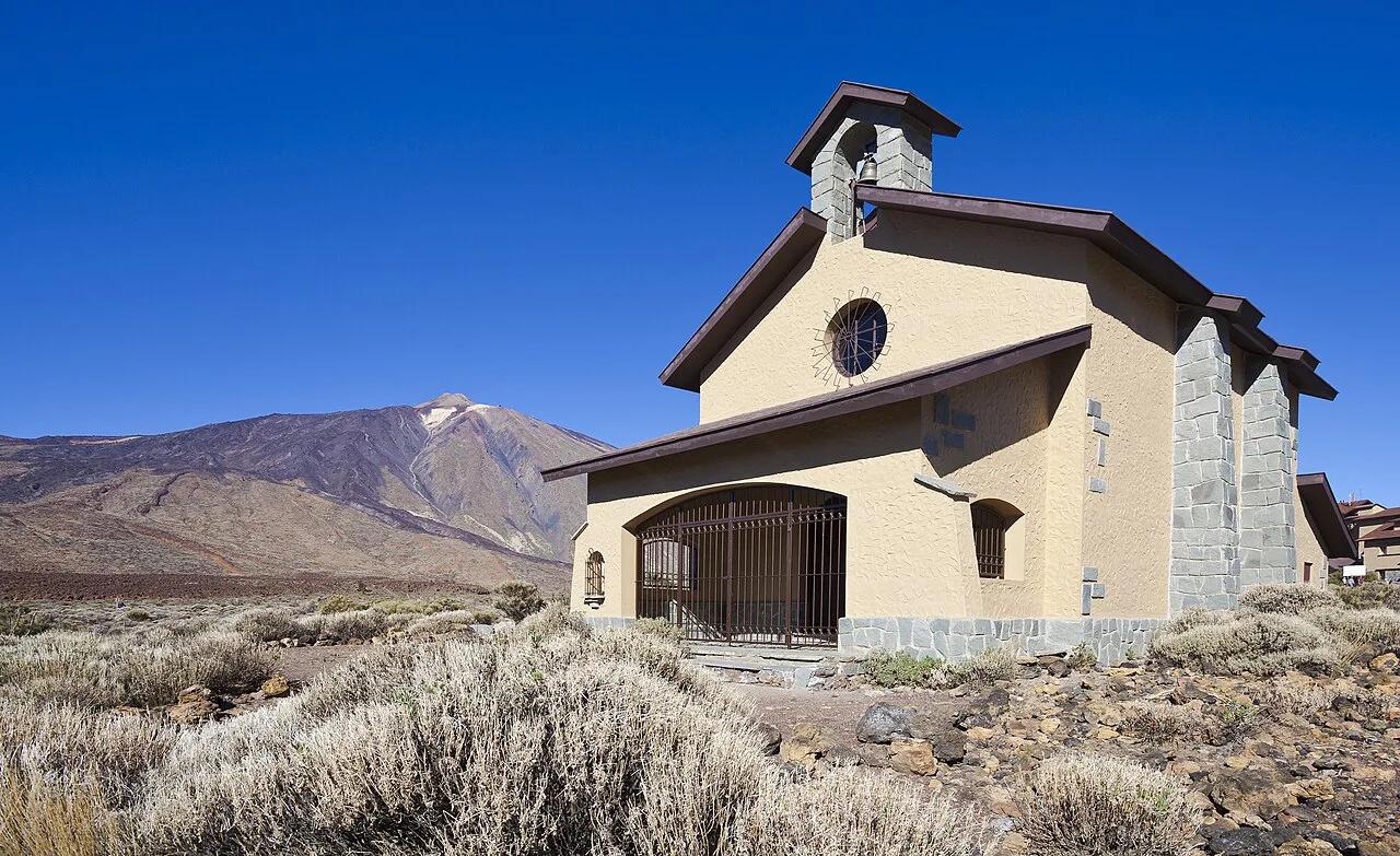
Featured image: Luc Viatour, CC BY-SA 3.0, via Wikimedia Commons.
La Palma, Canary Islands at a Glance: Where It Is and Who It Suits
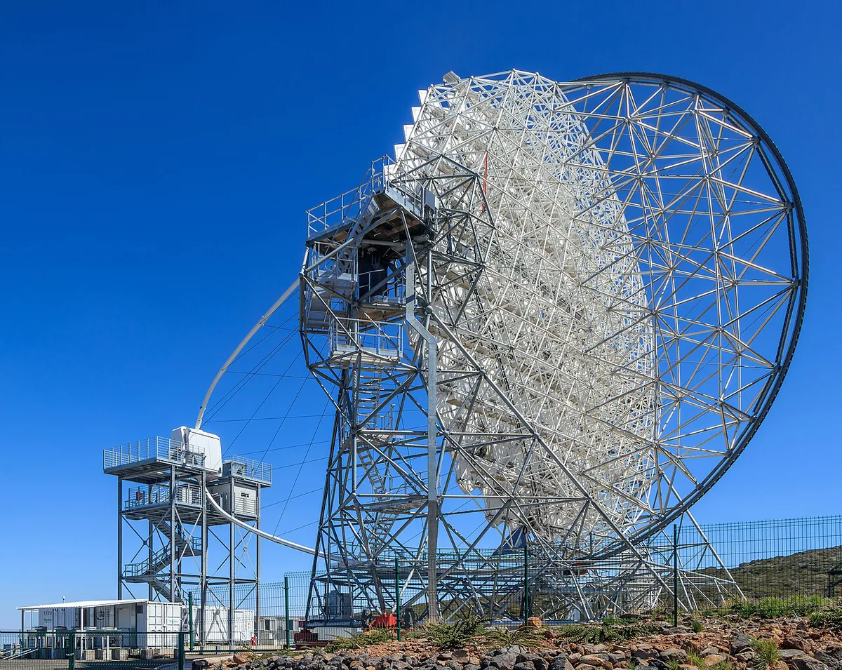
La Palma covers about 708 km² and had roughly 84,000 residents at the start of 2023. Santa Cruz de La Palma is the capital, on the east side. Los Llanos de Aridane is the largest town. Roque de los Muchachos, at 2,426 m, is the highest point and has a road to the summit. For geography, where the archipelago sits explains the Atlantic setting. Among the eight main islands, La Palma ranks fifth by area. A glance at the island-by-island map places it at the northwest end of the chain. Decision: choose it for walking, dark skies and volcanic scenery, not for resort beaches.
Is La Palma Right for You?
Tenerife and Gran Canaria lean toward resorts and big beaches, while La Palma leans toward trails and night skies. In our editorial assessment, it rewards active travellers more than sunbed-focused ones. Read choosing between islands for a wider verdict. Those two larger islands are set side by side in our Tenerife and Gran Canaria comparison. Verdict: if a beach day matters more than a trailhead, look at the larger islands first.
| Traveller type | Verdict | Why |
|---|---|---|
| Hiker | Strong fit | Caldera de Taburiente, Ruta de los Volcanes and the GR 130 path |
| Stargazer | Strong fit | Starlight Reserve, Roque de los Muchachos viewpoint, San Bartolo Mountain |
| Beach-and-resort seeker | Weak fit | Volcanic beaches such as Los Cancajos and Puerto Naos, but few resort-style options |
| Family | Fit with a car | Natural pools at Charco Azul and short walks, but long drives between areas |
| First-time Canaries visitor | Fit if you like nature | Better as a second island if you want nightlife and big beaches |
How to Get to La Palma
La Palma Airport, code SPC, has direct connections to numerous European and Spanish cities and to several neighbouring islands. Route lists and airport details sit on Aena's airport pages. Inter-island flights are sold through Binter. By sea, the passenger port in Santa Cruz de La Palma links to other Canarian ports and to mainland Spain. It is also the island's main cruise port. Ferry timetables, durations and fares change, so verify with the operator. Our guide to inter-island ferry options compares the wider network. Island-hoppers can read about the Tenerife–La Gomera crossing for context, though that route does not reach La Palma. Practical call: fly if time is short, and treat ferries as a route-by-route check.
Getting Around: Hire Car, Bus, Taxi or Bike
Hire a car if you want viewpoints, trailheads and the observatory road. Roque de los Muchachos has road access from sea level to 2,426 m, so expect long climbing drives. Buses, taxis and bikes exist and suit a single-base stay better than a multi-area trip. Practical notes sit on the island's official tourism portal, which has a getting-around section. Before any hike, check trail status and incident notices published by the island's tourism association. Bottom line: book a car for any stay beyond a short Santa Cruz break.
Where to Stay: Choosing a Base
Santa Cruz sits in the east, while the Caldera de Taburiente area lies in the west and centre. Fuencaliente is in the south. Any single base therefore means at least one long drive. Split a longer stay across two bases to cut the driving. Rule of thumb: pick the base nearest your main trailhead or sky-watching plan.
Coastal averages run about 18 °C in January and February. A west-coast base such as Tazacorte suits sun-seekers, while the east and north stay greener.
| Base | Pros | Cons | Best for |
|---|---|---|---|
| Santa Cruz de La Palma (east, capital) | Port, old town, cruise and ferry access | Far from the western trailheads | Culture, short stays |
| Los Llanos de Aridane / El Paso (west and centre) | Most urban and populated area; close to the Caldera and Tajogaite | Less atmosphere than the capital | Hikers, first-timers with a car |
| Tazacorte (west coast) | Sunny coast, port and promenade | Drive to the north and east | Sun and sea access |
| Fuencaliente (south) | Volcanic scenery, wine, marine reserve, salt flats | Remote from the observatory | Wine and volcano walks |
| Garafía / Puntagorda (north) | Quiet villages, dark skies, near the observatory side of the island | Few services, long drives to the south | Stargazers, quiet breaks |
Best Things to Do on La Palma
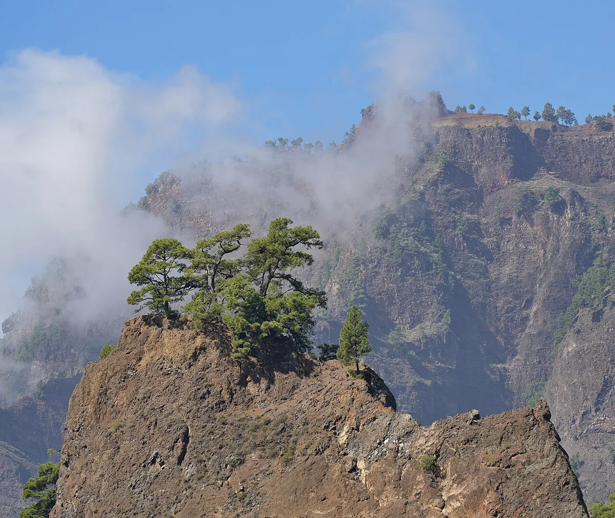
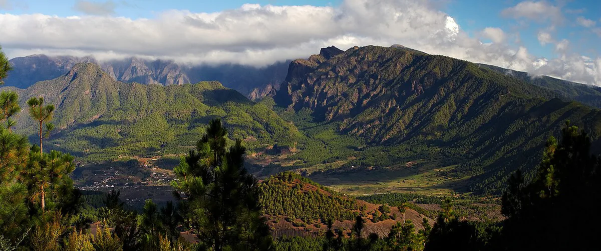
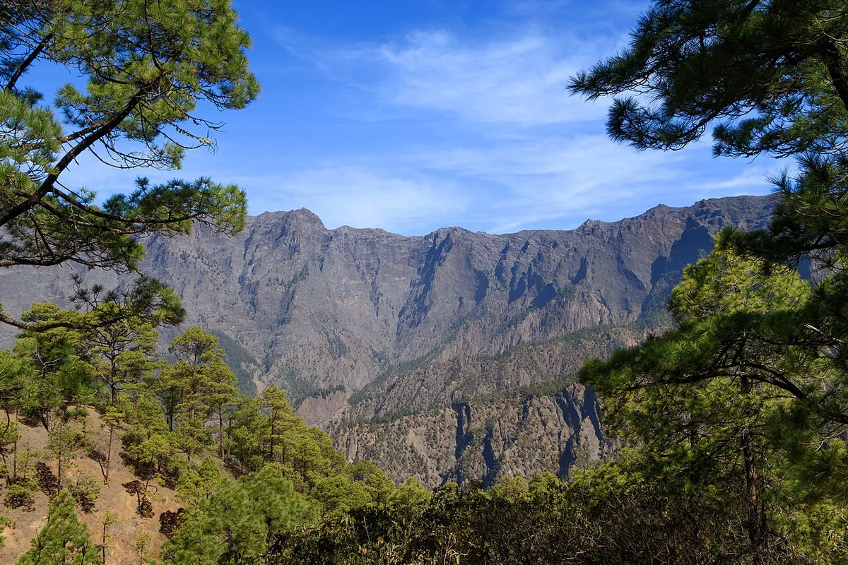
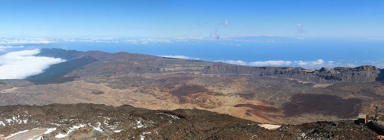
Caldera de Taburiente National Park is about 9 km wide and 1,500 m deep. Inside the caldera, access is on foot only, entering through Barranco de las Angustias. Access rules and reservations are covered by Spain's national parks authority. Cumbre Vieja erupted on 19 September 2021 and ran for 85 days. Published figures put the damage at more than 2,600 buildings. Local sites call the volcano Tajogaite, and the island promotes a trail through it. Check current access and area status before you walk. Verdict: anchor each day on one headline site, then add smaller stops nearby.
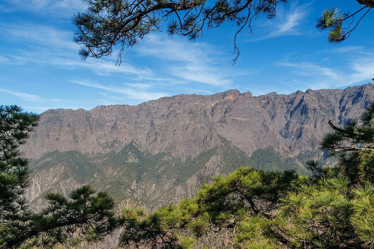
- Caldera and hiking: Ruta de los Volcanes, Refugio del Pilar and the Las Toscas–Gallegos leg of GR 130 stage 3.
- Volcano: the Tajogaite trail near El Paso, plus Fuencaliente's volcanic landscapes and salt flats.
- Stargazing: Roque de los Muchachos viewpoint and San Bartolo Mountain. The official tourism portal describes La Palma as a Biosphere Reserve and the world's first Starlight Reserve.
- Beaches and pools: Los Cancajos, Puerto Naos (check its reopening status) and the Charco Azul natural pools.
- Villages and capital: Santa Cruz de La Palma, the old town of Tijarafe and Cubo de la Galga.
How Long to Stay and Sample Plans
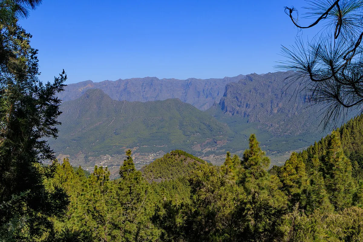
Two days covers one region well. Four days adds a second region and a volcano visit. Seven days lets you split bases and attempt longer trails. Allow for slow mountain roads in every plan.
| Stay | What it realistically covers |
|---|---|
| 2 days | Santa Cruz de La Palma plus either the Caldera area or the Roque de los Muchachos road |
| 4 days | Add Tajogaite, Tazacorte and Fuencaliente, with a night under the Starlight sky |
| 7 days | Add the northern villages of Garafía, Puntagorda and Tijarafe, and a longer trail such as Ruta de los Volcanes |
Best Time to Visit and Weather by Area
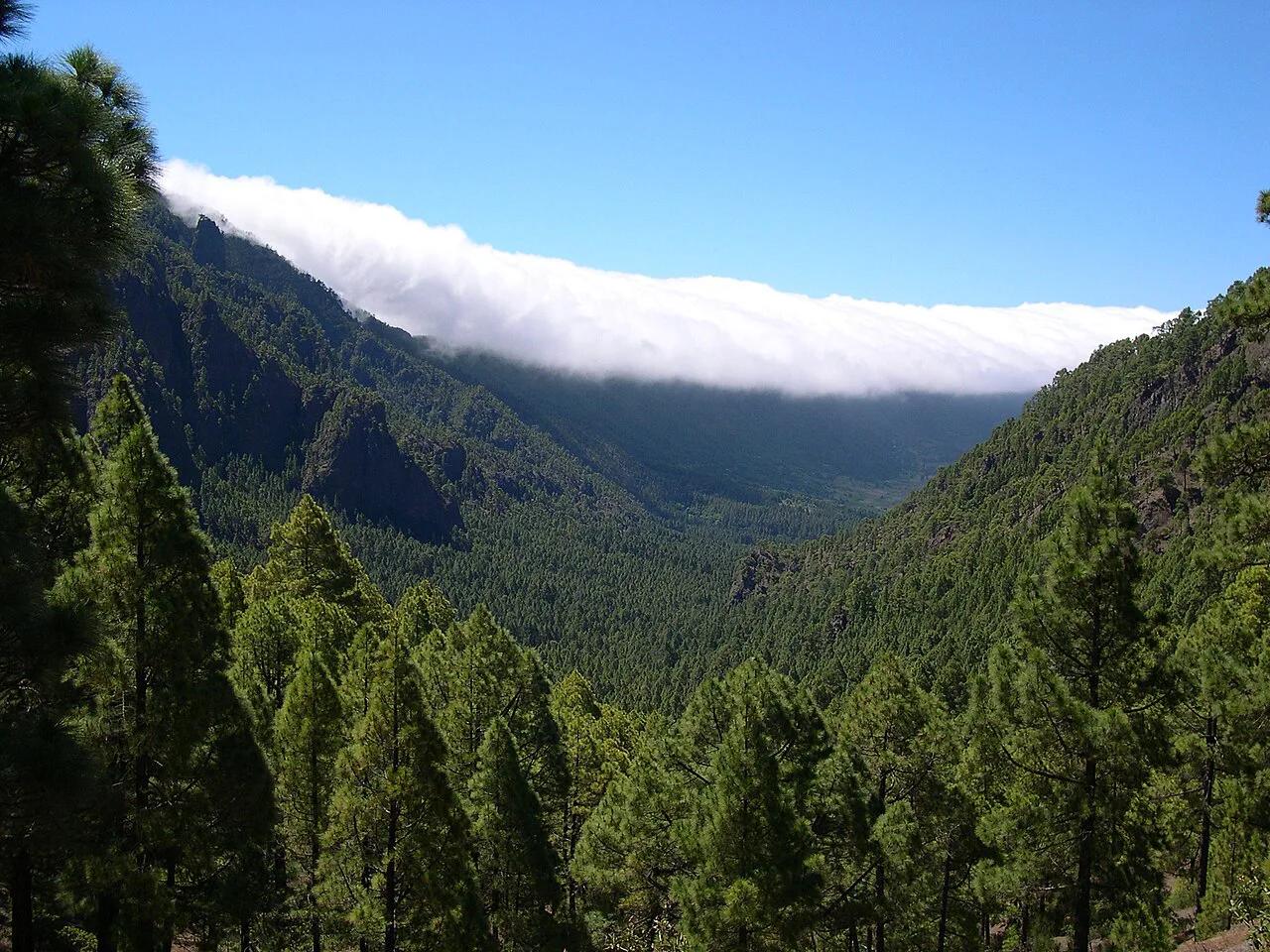
La Palma has two main climate types. Mediterranean-style conditions dominate the north and higher ground, while the south and southwest coasts are semi-arid. Coastal averages run from about 18 °C in January and February to about 24 °C in August and September. Inland, rising altitude brings cooler, more humid air and laurel forest. Cloud is more common here than on the eastern Canaries, which affects stargazing plans. Puntagorda's tourism page points to May–June for tajinaste flowers on the summit and links the village to its Almond Tree Festival. Month-by-month figures are in our Canary weather guide. Rule of thumb: pick the west coast for sun, and the north and east for greener scenery.
Food and Wine
Local wines aged in Canary pine heartwood barrels stand out in official descriptions. Artisan cheeses and traditional cuisine are the other named strengths. Fuencaliente's wines, trails and marine reserve are listed together on its municipal page. Restaurant lists sit in the island's tourism brochures and maps section. Bottom line: build one winery or cheese stop into your Fuencaliente day.
Costs, Bookings and Rules to Check Before You Go
La Palma's tourism association publishes a page on what to reserve, plus trail status and incident records. Protected areas such as Caldera de Taburiente may require advance bookings, so read the park's official page. Observatory visits and hire cars also need early planning. Flights and a hire car are the main variable costs, so compare routes on Binter and Aena before pricing the rest. Puerto Naos has its own reopening notice. Short answer: check reservations and trail status before you finalise dates.
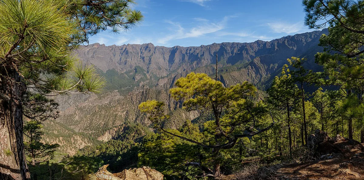
Caldera de Taburiente is about 9 km wide and 1,500 m deep, and its protected status may require advance bookings.
Mistakes to Avoid
Most problems come from treating La Palma like a beach island or a single-base trip. Use this list when you plan.
- Assuming it is a beach island. Beaches are volcanic and the best days are on trails.
- Skipping booking checks for protected sites such as Caldera de Taburiente.
- Ignoring trail-status and incident notices before a hike.
- Underestimating drive times between Santa Cruz, the west and Fuencaliente.
- Relying on one clear night for stargazing. Cloud is a real risk, so keep spare evenings.
- Treating the 2021 eruption zone as fixed. Check current access, including Puerto Naos.
Frequently Asked Questions
Is La Palma worth visiting?
Yes, if you want hiking, dark skies and volcanic scenery in the Canary Islands. Skip it if a resort beach holiday is the goal.
What language do they speak in La Palma?
Spanish, specifically Canarian Spanish, is the main language on the island. Visitors can use Spanish phrases in villages and small shops.
How many died in the La Palma eruption?
Published summaries record one death linked to the 2021 eruption. It destroyed more than 2,600 buildings over 85 days.
Useful notes for your next island trip
Optional updates to our guides.
You might also like
Continue reading
More guides you'll find useful