Where Are the Faroe Islands? Location and Getting There
A plain answer to where the Faroe Islands are, what they belong to, which places they sit near, and how to reach them.
On this page
Last updated November 2026. Where are the Faroe Islands? They sit in the North Atlantic between Iceland, Norway and Scotland, at about 62.00° N, 7.00° W. The islands are a self-governing territory within the Kingdom of Denmark. Our Faroe Islands travel guide covers the full trip once you have your bearings.
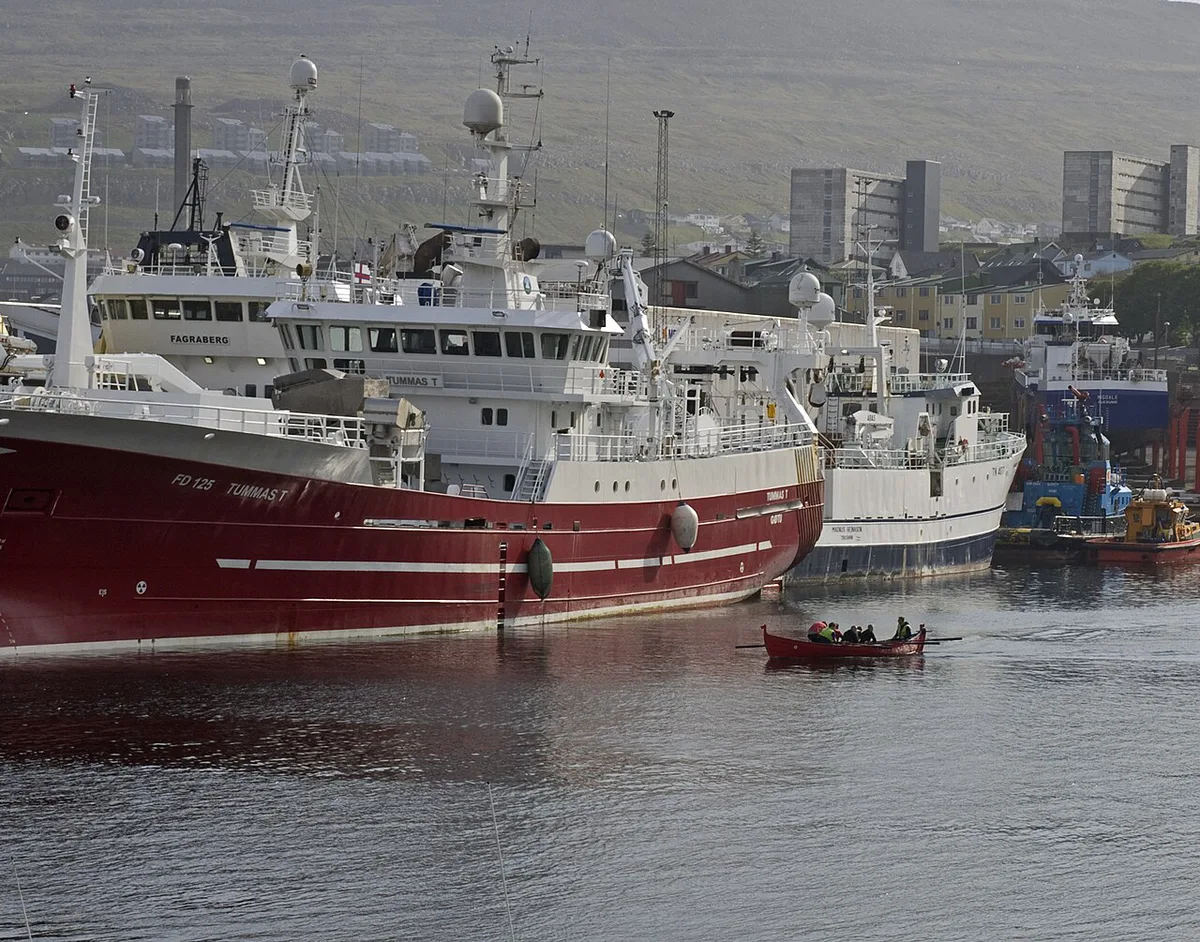
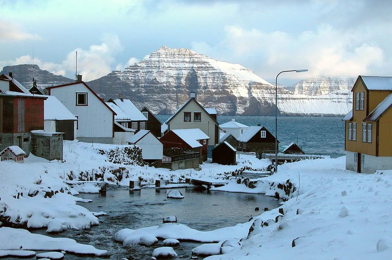
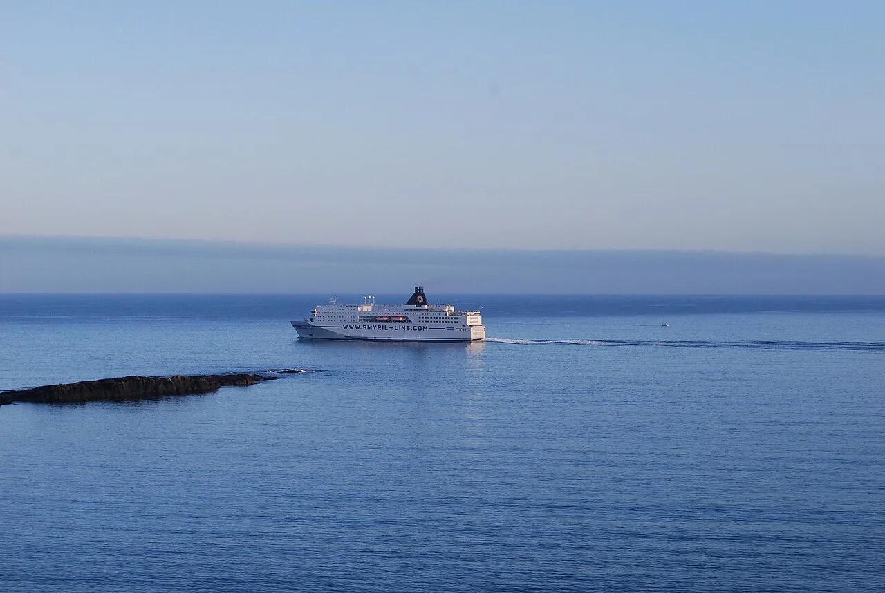
Featured image: Vincent van Zeijst, CC BY-SA 3.0, via Wikimedia Commons.
Where the Faroe Islands are on the map
The archipelago lies in open ocean, with no land border and no neighboring coast in sight. Its coordinates are about 62.00° N, 7.00° W. Iceland, Norway and Scotland are the nearest reference points, and the islands sit among all three. Shetland and Orkney belong to Scotland, so neither is part of the Faroes. Total land area is about 1,399 km² (roughly 540 square miles), and the islands are grouped into six regions. Those regions are Eysturoy, Norðoyar, Sandoy, Streymoy, Suðuroy and Vágar.
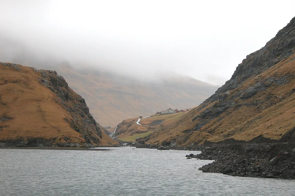
Are the Faroe Islands a country or part of Denmark?
They are a self-governing territory within the Kingdom of Denmark, so they are not part of Iceland or Norway. The Faroese government runs local affairs. Faroese is the home language, and Danish is also an official language. Money is the Faroese króna, used alongside the Danish krone. Phone numbers use the +298 prefix, and web addresses end in .fo. Schengen and entry rules for your passport are not covered here, so check them with your own government before booking.
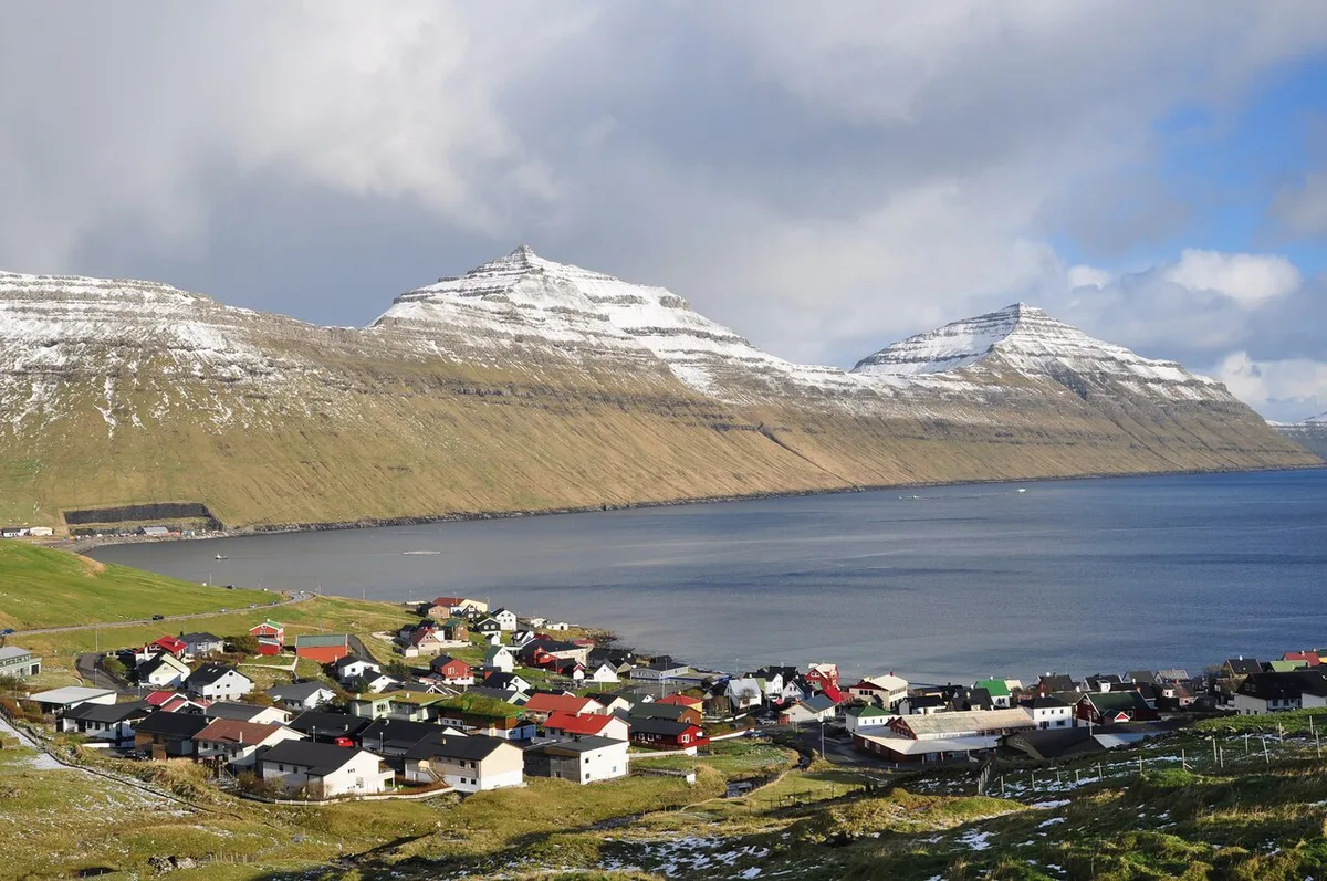
The Faroe Islands at a glance
Use this table for the core facts. Population is about 48,497, and about 13,200 of those people live in the capital, Tórshavn.
| Fact | Detail |
|---|---|
| Area | About 1,399 km² (about 540 sq mi) |
| Population | About 48,497 |
| Capital | Tórshavn, about 13,200 residents |
| Regions | Eysturoy, Norðoyar, Sandoy, Streymoy, Suðuroy, Vágar |
| Highest peak | Slættaratindur, about 882 m (about 2,894 ft) |
| Time zone | Atlantic/Faroe |
| Airport | Vágar Airport, the only one |
| Phone prefix | +298 |
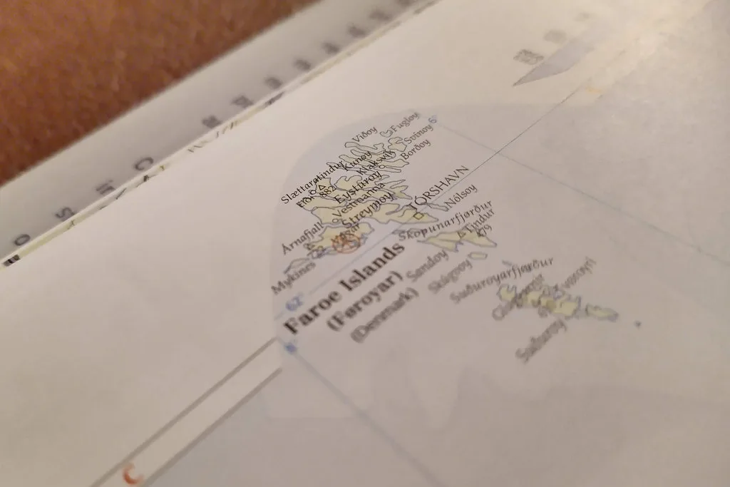
How the islands are laid out
Each main island has a clear role for a visitor. Streymoy is the capital island and holds Tórshavn. Vágar is the airport island, where your flight lands. Mykines is the puffin island, reached by a separate crossing. Kalsoy lies in the northern Norðoyar region. Suðuroy is the southernmost region and Sandoy is the one in between. Road tunnels join many of the islands, and ferries cover the rest. Read our guide to the island tunnels for the road links. Our ferry guide covers the sea crossings. Both are operated by public bodies, such as the Eysturoy tunnel operator.
Streymoy is the island that holds Tórshavn, where about 13,200 people live, out of an islands' population of about 48,497.
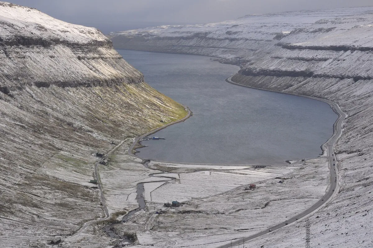
Main towns and villages in the Faroe Islands
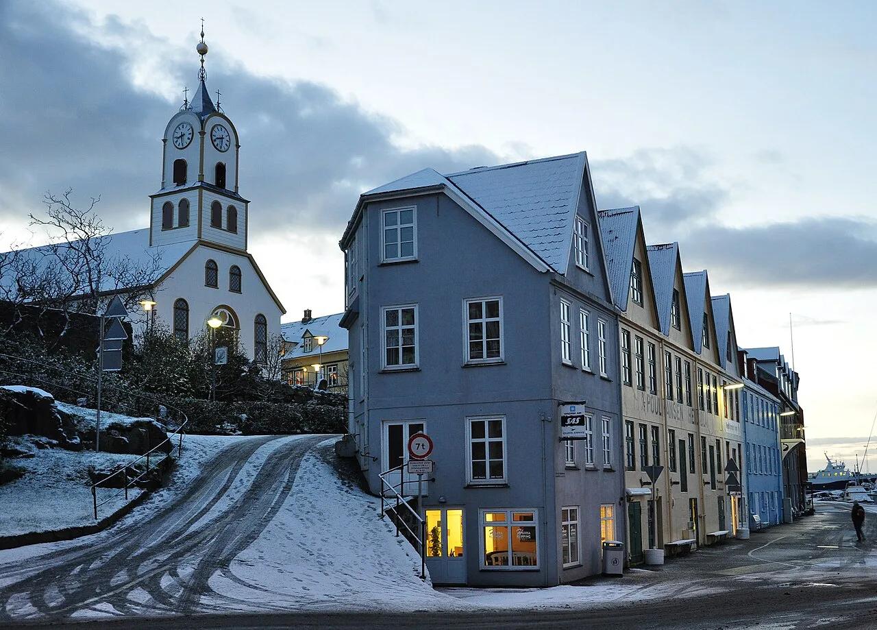
The Faroe Islands have no large cities. Tórshavn, with about 13,200 residents, is the only place that feels urban, and most other settlements are small towns or villages. Knowing where they sit on the map helps you choose a base.
| Place | Region | Why it matters |
|---|---|---|
| Tórshavn | Streymoy | Capital, government seat, most restaurants, hotels and shops |
| Klaksvík | Norðoyar (on Borðoy) | Second-largest town, a hub for the northern islands, including Kalsoy |
| Runavík | Eysturoy | One of the larger settlements on the second-largest island |
| Tvøroyri | Suðuroy | Main town of the southernmost region, reached by ferry |
| Sørvágur | Vágar | Village close to Vágar Airport, handy for an arrival or departure night |
Tórshavn is the practical base for most itineraries. From it, road tunnels and bridges reach Eysturoy and Vágar, so many sights work as day trips. The north and the far south take longer, and staying overnight in Klaksvík or on Suðuroy saves long transfers.
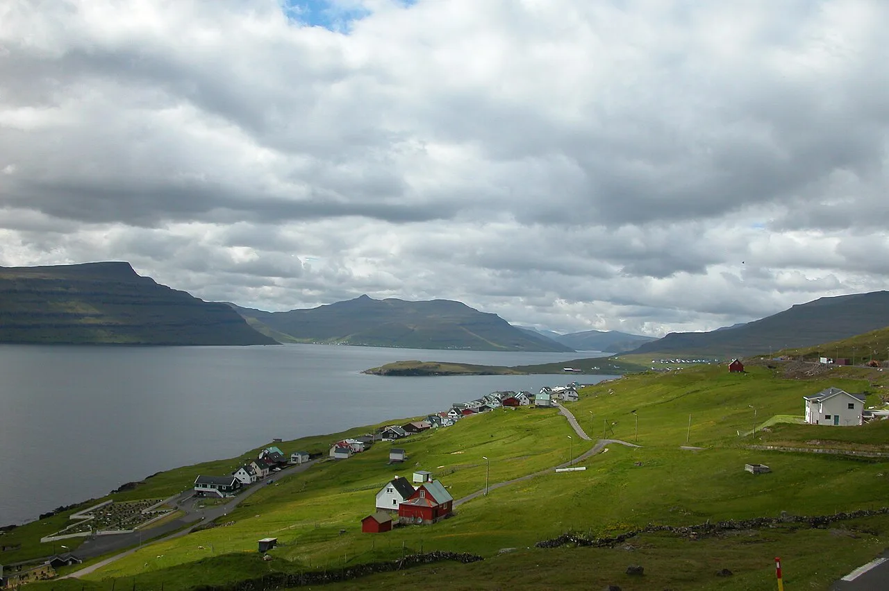
Settlements outside Tórshavn are mostly small and spread along fjords and valleys. Opening hours for shops and cafés can be short, especially off-season, so check ahead if you rely on a specific place for a meal or supplies.
How far is it, and how do you get there?
Distance matters less than the route. Vágar Airport is the only airport, so every flight ends on Vágar. Sea access is possible but limited, and it depends on season and operator. Check current routes before you fix dates. Our guide to getting to the Faroe Islands compares the options. Our flights guide goes deeper on airlines and routes. Atlantic Airways is the home carrier.
| Option | Best for | Trade-off |
|---|---|---|
| Flight to Vágar Airport | Most visitors, shortest journey | Weather can delay or cancel flights |
| Sea route | Travelers with spare days | Slower, seasonal, fewer departures |
| Connection via Iceland, Norway, Scotland or Denmark | Starting points without a direct flight | Extra leg adds cost and delay risk |
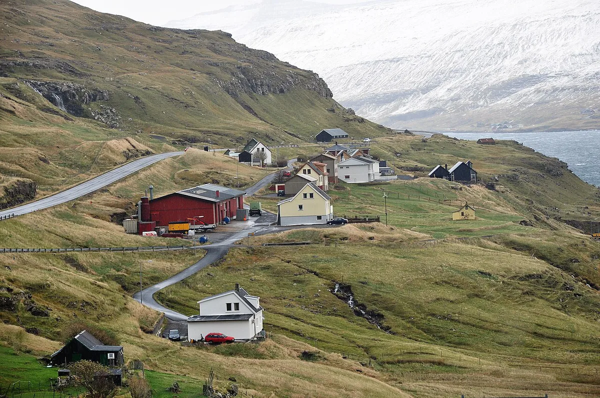
Distances from Iceland, Norway, Scotland and Denmark
The islands are closer to Scotland and Iceland than to mainland Norway, and far from Denmark, the country they belong to. The figures below are approximate straight-line distances, so treat them as a guide to scale rather than a travel plan.
| Reference point | Approx. distance | Direction from the Faroes |
|---|---|---|
| Shetland (Scotland) | About 300 km (190 mi) | South-east |
| Iceland (east coast) | About 450 km (280 mi) | North-west |
| Bergen, Norway | About 670 km (415 mi) | East |
| Reykjavik, Iceland | About 800 km (500 mi) | North-west |
| Copenhagen, Denmark | About 1,700 km (1,050 mi) | South-east |
Shetland is the nearest inhabited land, yet it is Scottish, not Faroese. Iceland looks near on a map, but it is a separate country with its own flights and entry arrangements.
Time difference
The islands use the Atlantic/Faroe time zone, which matches UK time: UTC+0 in winter and UTC+1 in summer. Scotland and Iceland run on the same clock in winter, while Norway and Denmark are one hour ahead. Allow for that when you book a connection or a ferry on the same day as a flight.
Why the distances matter for planning
- The islands are remote enough that you cannot reach them by land, so every trip starts with a flight or a sea crossing.
- Neighboring places are near enough on the map that a short stopover in Iceland, Scotland or Denmark is common.
- A direct flight is much shorter than the Denmark distance suggests, but a weather delay can still stretch the day.
What the location means for your trip
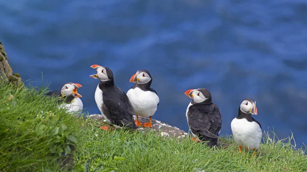
A North Atlantic position at 62.00° N shapes everything. Weather changes fast, and daylight swings hard between summer and winter. Read our Faroe Islands weather guide for the patterns. Our best time to visit guide helps you pick a month. If you prefer the dark season, see visiting the Faroes in winter. Puffin trips depend on the season too, so check puffin timing and sites. Poor weather can delay flights and ferries. Leave a spare day on either end of your trip, and avoid fixed-date connections right after you leave. Travelers who cannot tolerate schedule changes should think twice. Start with the official tourism site for current practical information.
Frequently Asked Questions
Are the Faroe Islands part of Norway?
No. The Faroe Islands are a self-governing territory within the Kingdom of Denmark. They are not part of Norway or Iceland, though both are close neighbors in the North Atlantic.
Useful notes for your next island trip
Optional updates to our guides.
You might also like
Continue reading
More guides you'll find useful