Faroe Islands Tunnels: Undersea Routes, Tolls & Driving Tips
Which Faroe Islands tunnels run under the sea, how tolls work, what the Eysturoy roundabout is like, and how tunnels change your self-drive plan.
On this page
Last updated November 2026. Faroe Islands tunnels include three subsea routes, and the newest one holds an illuminated underwater roundabout. All three are drivable and tolled, so they shape any self-drive plan across the islands. This guide covers each tunnel, the toll question and where tunnels beat ferries. It sits within our wider Faroe Islands travel guide.
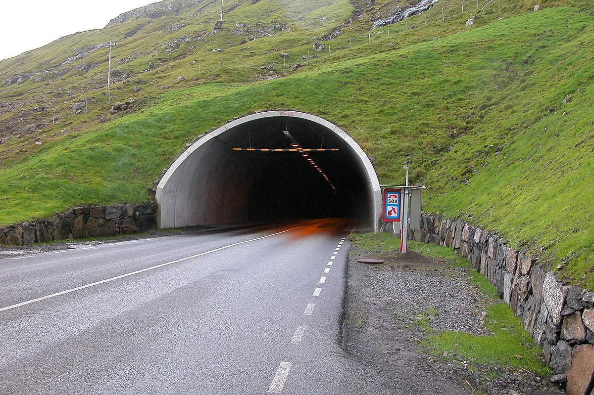
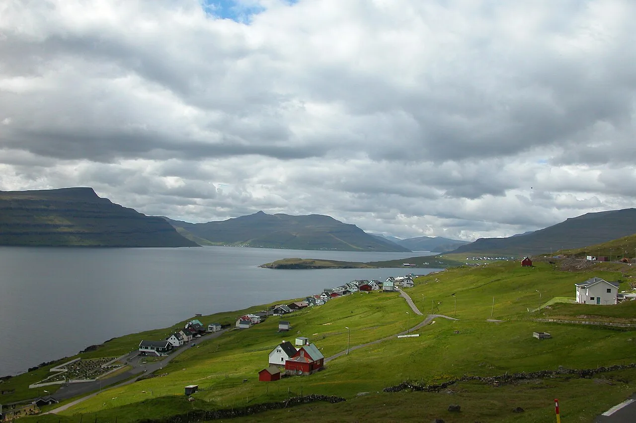
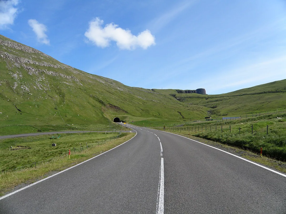
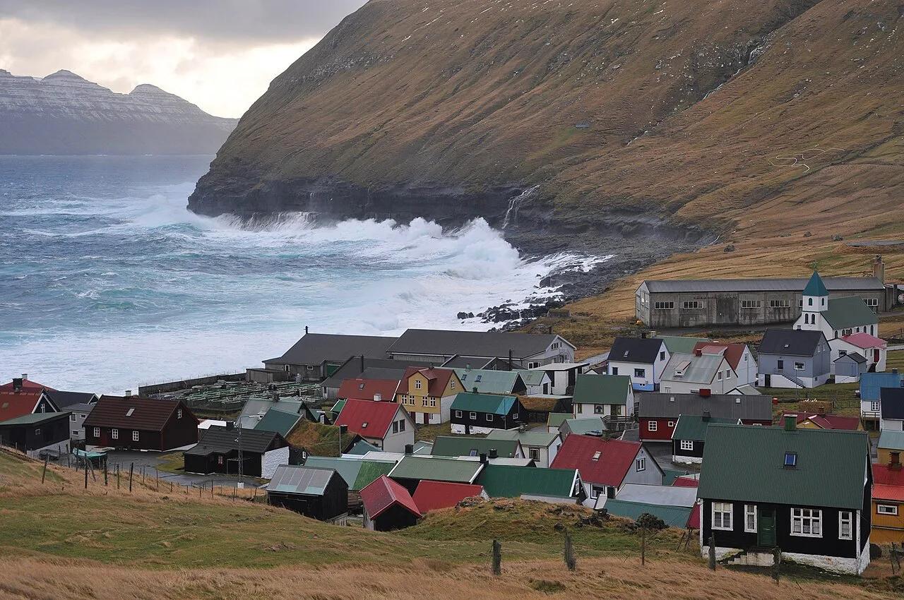
Featured image: Erik Christensen, Porkeri (Contact at the Danish Wikipedia), CC BY-SA 3.0, via Wikimedia Commons.
Quick answer: the Faroe Islands' undersea tunnels
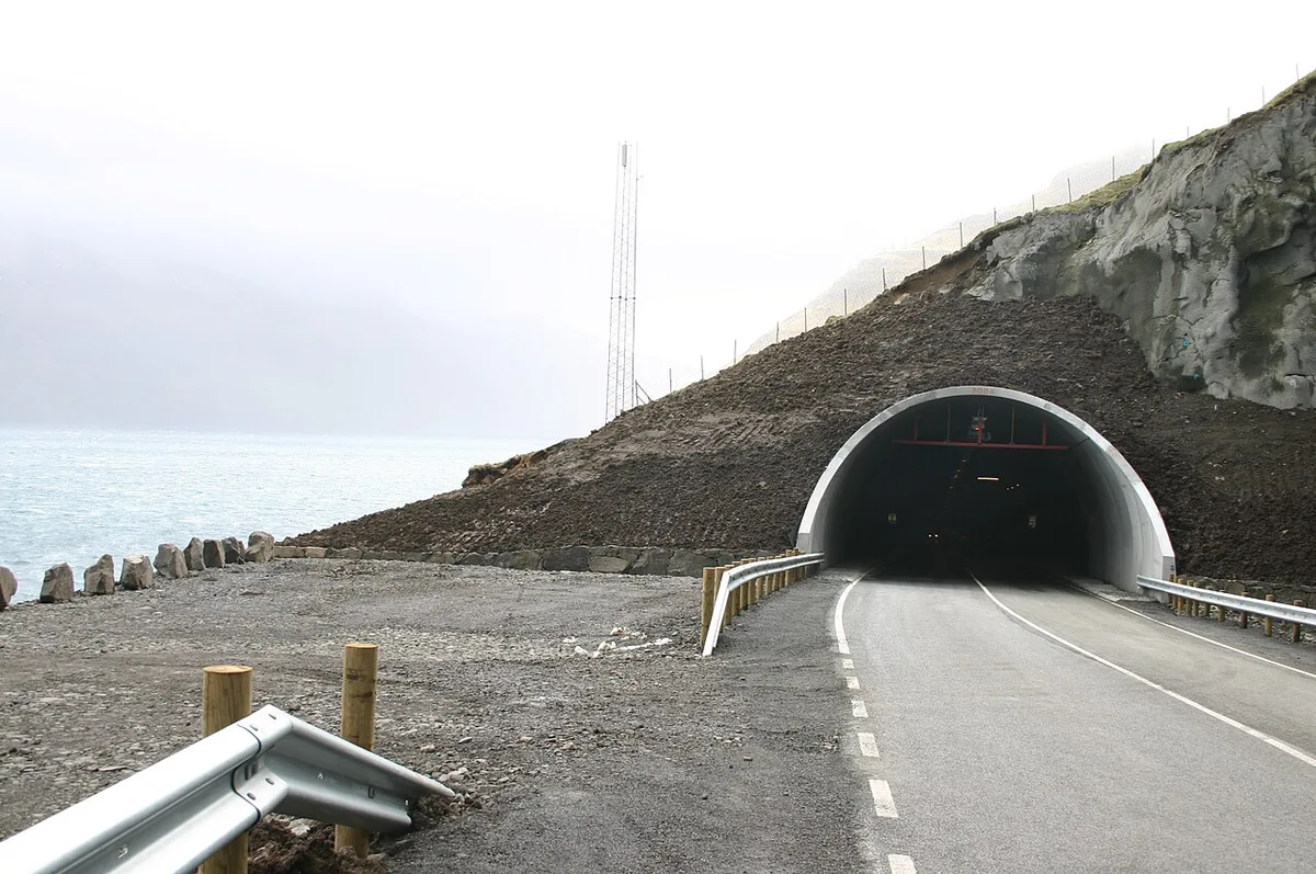
Three subsea tunnels link the islands: Vágatunnilin, Norðoyatunnilin and Eysturoyartunnilin. Vágatunnilin opened in 2002 and runs under the sea to Vágar, the airport island. Norðoyatunnilin opened in 2006 and links the Northern Isles to the rest of the road network. Eysturoyartunnilin is the newest, opened on 19 December 2020, and it is the one with the roundabout.
| Tunnel | Opened | What it connects |
|---|---|---|
| Vágatunnilin | 2002 | Vágar, home of the airport |
| Norðoyatunnilin | 2006 | The Northern Isles |
| Eysturoyartunnilin | 19 December 2020 | Tórshavn on Streymoy to Eysturoy, 11.2 km (6.9 miles) of tunnel network |
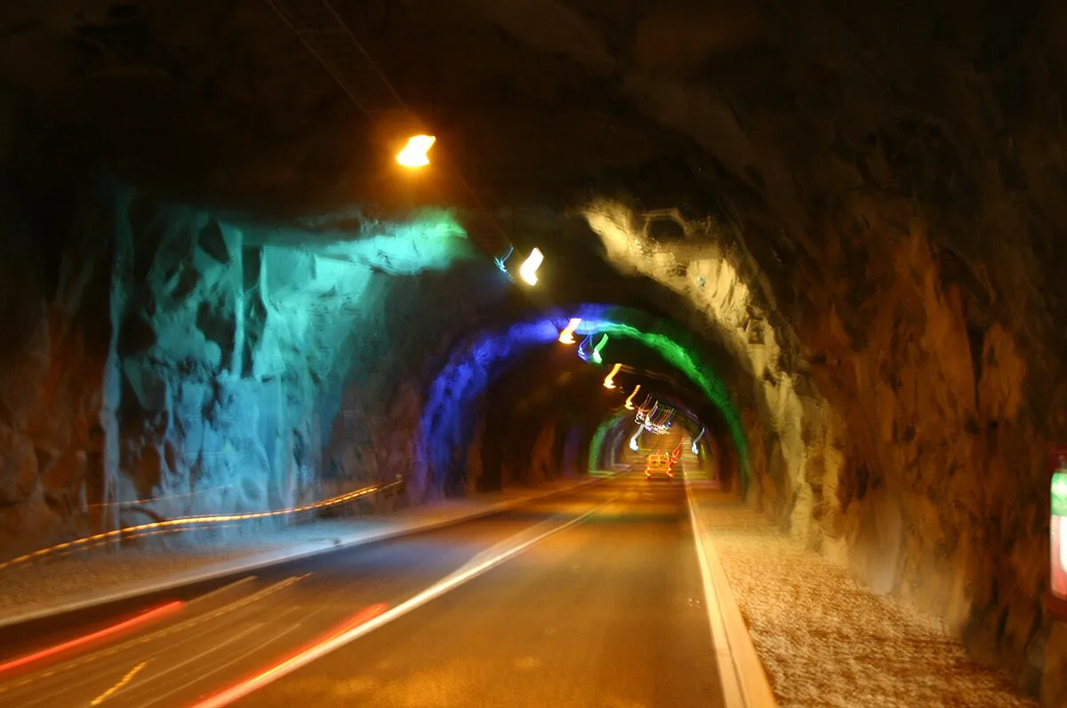
The Eysturoy tunnel and its underwater roundabout
The Eysturoy tunnel network is 11.2 km (6.9 miles) long and took about 4 years to build. It cut the trip from Tórshavn to Eysturoy from more than an hour on mountain roads to roughly 15 minutes. Near its middle, 72 m below the surface, sits the first undersea roundabout. A natural rock pillar left over from blasting stands at the centre. It is lit sea blue and decorated by Faroese artist Tróndur Patursson. An 80 m steel sculpture of linked figures circles the pillar. Patursson told the Guardian that the figures are walking from darkness into the light. The official Visit Faroe Islands site covers the wider visitor picture. The roundabout is a working junction, so treat it as part of the drive, not a place to stop.
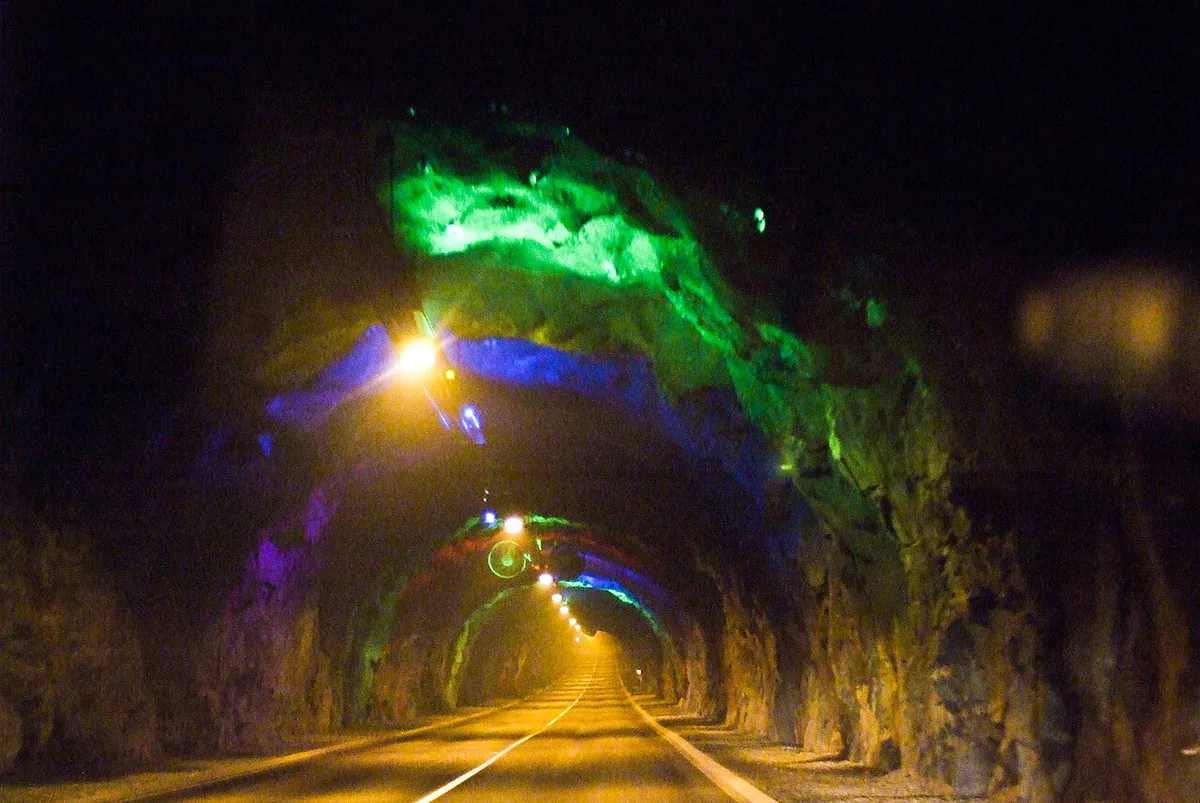
Faroe Islands tunnel tolls and how to pay
The subsea tunnels charge tolls, and rates change over time. Old online figures are outdated, so use the operator's current rates at Tunnil before you drive.
Every subsea tunnel charges a toll, so a drive that takes roughly 15 minutes through Eysturoy still carries a fee.
Time-saving vs scenic: which tunnels change your plan
The Eysturoy tunnel is the clearest time saver. A 15-minute drive replaces a trip of more than an hour on mountain roads. That frees half a day for hiking or villages on Eysturoy. Vágatunnilin matters on arrival day, since it joins Vágar to the road network. Our guide to Vágar and its airport covers that link. Where no tunnel exists, a ferry is the alternative. Our Faroe Islands ferry guide compares those crossings. Mountain roads stay open as a slower, scenic option. Tunnels and ferries behave differently in bad weather, so read our Faroe Islands weather guide before fixed plans. Winter travellers should also see visiting the Faroes in winter.
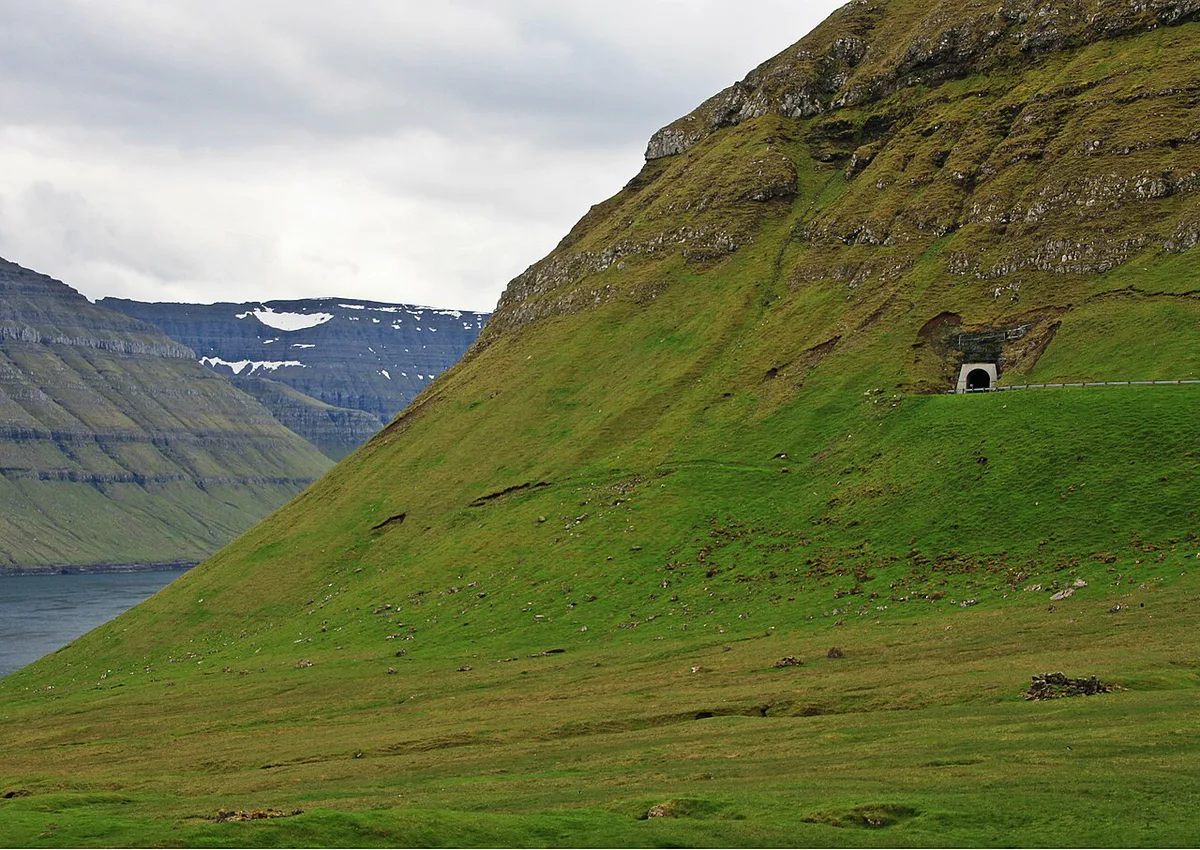
- Tórshavn to Eysturoy: tunnel, about 15 minutes
- Airport to the rest of the islands: Vágatunnilin
- Northern Isles: Norðoyatunnilin
Driving in Faroese tunnels
Drive tunnels as you would any road, with headlights on and no stopping. Current rules and closure notices come from the Faroese road authority, Landsverk, so check there before long drives.
Tunnels and your itinerary
Tunnels link Vágar, Streymoy, Eysturoy and the Northern Isles by road. Streymoy, home to Tórshavn, is the natural base for the Eysturoy tunnel. Some islands still need a boat. Mykines and Kalsoy are the main examples. Puffin trips to Mykines start from Vágar, as our Faroe Islands puffins guide explains. Flying in? See flights to the Faroe Islands and our overview of how to get there. Before booking, check each island's access, because the road network keeps changing.
Eysturoy's tunnel network runs 11.2 km (6.9 miles), while Mykines and Kalsoy still need a boat rather than any tunnel.
- Mistake to avoid: assuming every island link is a tunnel.
- Mistake to avoid: forgetting tolls when you drive a rental car.
- Mistake to avoid: stopping or parking inside a tunnel.
Useful notes for your next island trip
Optional updates to our guides.
You might also like
Continue reading
More guides you'll find useful