
São Jorge, Azores: Fajãs, Hikes & Trip Planning Guide
Plan São Jorge in the Azores: best fajãs, hikes, ferry and flight access, car needs, how many days to stay, and who should skip it.
On this page
Last updated November 2026: Sao Jorge Azores is a long, narrow island about 8 km wide, known for fajãs, small coastal platforms below high cliffs. It suits hikers and slow travelers, and it needs a rental car plus some planning. Read on for who should go, how many days to allow, and how to fit it into a wider Azores island plan.
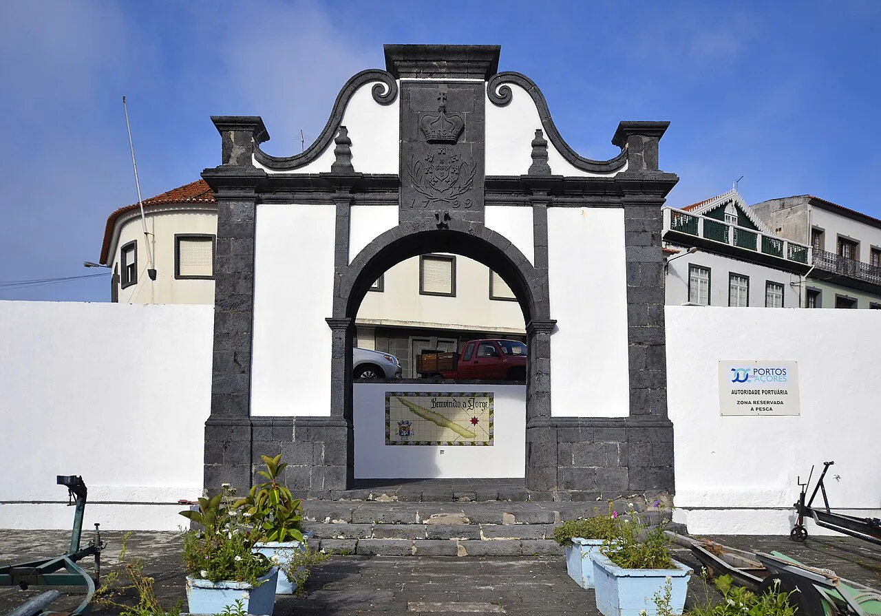
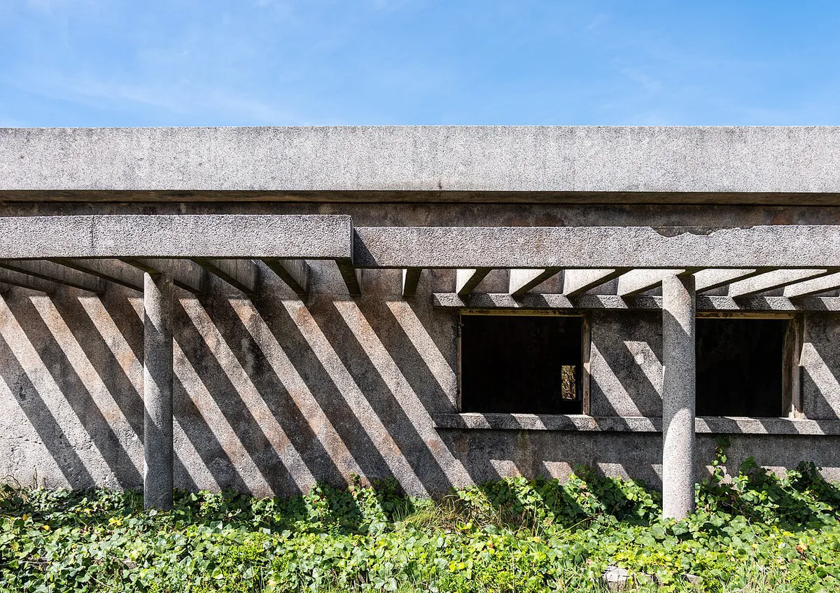
Featured image: Photographer: Mosbatho, CC BY 4.0, via Wikimedia Commons.
Is São Jorge Worth Visiting?
Yes, if walking, coffee and cheese appeal to you. Sources give the island's length as 53 to 56 km, and its width as about 8 km. More than 40 fajãs sit below cliffs averaging roughly 500 m. About 10,500 residents live mostly on those platforms and along the coast. Choose São Jorge for hiking and quiet. Skip it for nightlife, wide beaches or car-free travel.

| Traveler | Fit | Why |
|---|---|---|
| Hikers | Strong fit | Cliff paths drop to coastal platforms, with a steep climb back |
| Foodies and cheese lovers | Strong fit | São Jorge cheese, fajã coffee and a clam lagoon found nowhere else in the archipelago |
| Families | Mixed | Easy drive-up fajãs work; steep descents with small children do not |
| Non-drivers | Weak fit | Buses are sparse and taxis scarce; boat tours and guided hikes fill part of the gap |
| Limited mobility | Weak fit | Most fajã trails use steep zigzags and stone steps |
| Short-stay island-hoppers | Good with limits | A day or two is possible by ferry, but weather can cancel sailings |
What Makes São Jorge Different: Fajãs Explained
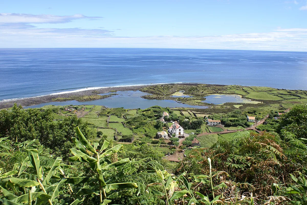
Fajãs formed where landslides and old lava flows left flat ground at sea level. Settlers farmed coffee, grapes and yams on them, and some platforms still have year-round residents. Trail maps and current status for each route sit on Visit Azores. For the island group as a whole, start with the Azores islands overview. Sort each fajã by access type before you plan a day.
| Access type | Example | Best for |
|---|---|---|
| Drive-up | Fajã dos Cubres (a dirt road; conditions vary after rain) | Lagoon views, birdlife, a short walk |
| Short hike | Fajã de São João | Quiet black-sand shore; bring your own food |
| Steep half-hour descent | Fajã dos Vimes | Coffee cooperative and lava-rock pools on calm days |
| Long hike | Fajã da Caldeira de Santo Cristo (about 2 hours each way) | Lagoon swimming and clams |
| Boat-only | Remote fajãs reached by boat tour from Velas harbor | Coastal views without the climb |
How Many Days to Spend on São Jorge
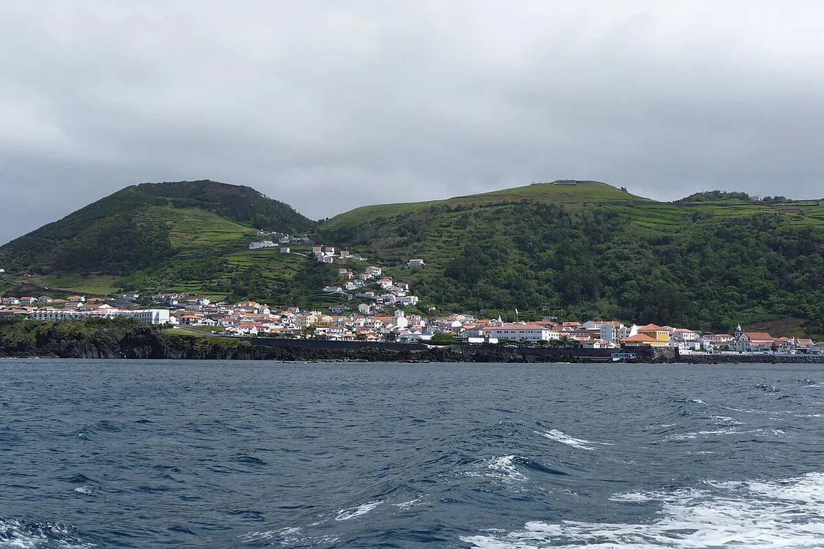
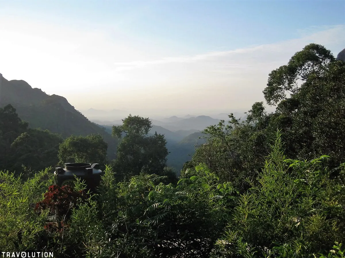
A day trip is a taster only. Ferry crossings from Pico run roughly 1 to 1.5 hours each way, so little daylight remains. Follow one rule on the ground: one big hike per day. Pair it with a drive-up fajã and keep a weather fallback. The descent into Fajã dos Vimes drops about 300 m in around 30 minutes, and every metre returns as a climb.
Ferry crossings from Pico run roughly 1 to 1.5 hours each way. Crossings from Horta on Faial take about 1.5 to 2 hours, so keep to one big hike.
| Stay | What you gain | What you lose |
|---|---|---|
| Day trip | One fajã and a viewpoint stop | Flexibility if seas or wind change |
| 2 nights | One big hike plus one drive-up fajã | A buffer day for bad weather |
| 3 to 4 nights | Two hikes, Topo, cheese and a rain-day plan | Time for other islands |
- Mistake: two big fajã hikes in one day. Legs tire on the second climb.
- Mistake: relying on fajã cafés. Opening hours are irregular, so carry food.
- Mistake: arriving without cash or a car. Both are hard to fix on the island.
Top Fajãs and Hikes
Start with the access type and effort level, then match the fajã to the day's sea and weather. Competing accounts disagree on trail times, so treat minutes below as rough guides. Find the trailhead and route on Visit Azores before setting off.
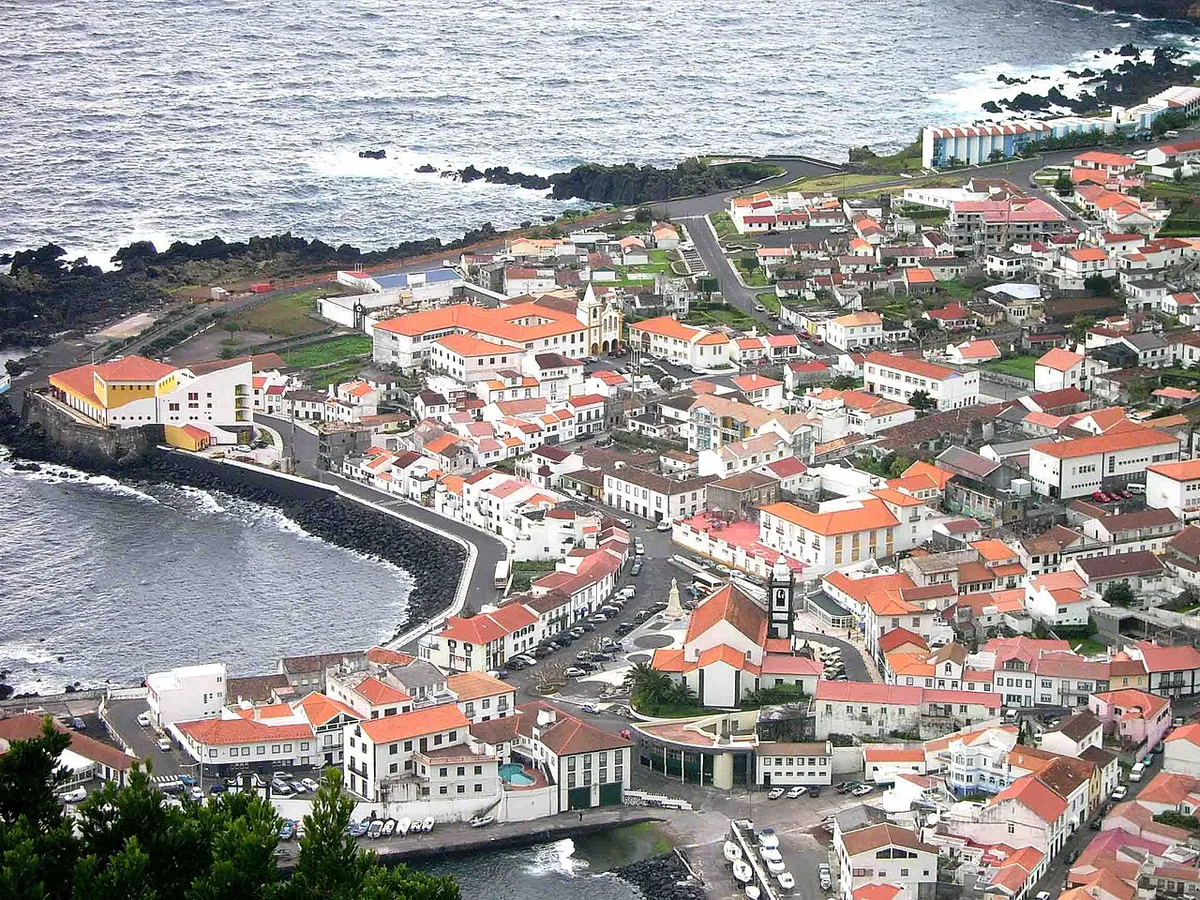
- Fajã dos Vimes: steep descent of about 300 m, coffee cooperative tours and tastings, lava pools that turn rough in heavy swell.
- Fajã de São João: shorter but steep path, abandoned stone houses and black sand, with a café that opens sporadically.
- Fajã dos Cubres: protected lagoon and birdlife, linked to Caldeira de Santo Cristo by a coastal trail of about 45 minutes.
- Fajã da Caldeira de Santo Cristo: the island's most famous fajã, with a brackish lagoon behind a sandbar and a small summer-only café.
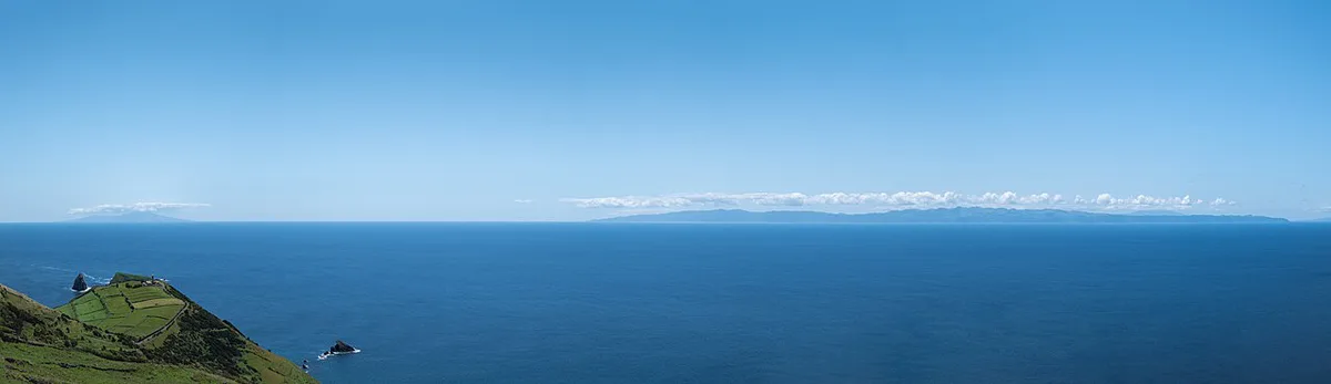
- Topo: east end of the island, with views across the channel to Pico and Faial.
Getting to São Jorge
Most visitors arrive by ferry. Atlânticoline sails from Madalena on Pico in roughly 1 to 1.5 hours. Crossings from Horta on Faial take about 1.5 to 2 hours. Book ahead in July and August, especially with a car. Flights from Terceira and São Miguel also serve the island, with SATA Azores Airlines as operator. Frequency varies by season, and high winds can disrupt flights, so check the current timetable. Rough seas can cancel sailings too. Read How to Get to the Azores: Flights, Routes & Island Hopping for the first leg. Pair the crossing with a stop on Pico. Alternatively, begin from Faial.
Getting Around: Why You Need a Car
Rent a car. Public buses run only a few times daily between Velas and Calheta, and they skip trailheads. Taxis are scarce outside those two towns. Calheta is about 25 minutes by road from Velas. Fuel up in Velas or Calheta, because no petrol stations serve the fajã roads. Roads are narrow with hairpin bends, so add extra time to every leg. Reserve a car early for July and August, since the island has only a handful of rental firms. Without wheels, join a boat tour from Velas harbor or a guided hike.
Calheta is about 25 minutes by road from Velas. Stay in Velas for ferry arrivals, then add that drive to any southern fajã plan.
Best Time to Visit São Jorge and Weather Risks
Water temperatures run roughly 17 to 23°C and air temperatures 13 to 24°C, with humidity near 75%. May through September gives the steadiest seas and driest trails. Winter swells can close boat trips and remote fajã access. Spring and autumn are quieter but bring trail closures after heavy rain. See Azores Weather by Month: Temps, Rain & Best Time to Go for detail. Compare seasons across the archipelago in best time to visit the Azores. Shoulder-season context is in Azores in March: Weather, What's Open & Who Should Go. Check wind and sea warnings with IPMA before any fajã day. For a rain plan, drive to Velas or Calheta for coffee and cheese, then try Topo's viewpoints.
Where to Stay: Velas vs Calheta vs Topo vs a Fajã
Velas and Calheta are the island's two municipalities, with six and five parishes respectively. Both have fuel, groceries and the main services. Topo anchors the east end. A few fajã houses rent rooms through local contacts, so ask at the Velas tourism office and ask about facilities in advance.
- Velas: best first base for ferry arrivals, rental cars, shops and boat tours.
- Calheta: good for southern fajã trailheads and a quieter feel.
- Topo: suits travelers who want east-end views toward Pico and Faial.
- A fajã: informal and basic, ideal for silence and stars, but bring food and cash.
Food, Cheese and Culture if You Don't Hike
São Jorge cheese anchors the local economy, and the Confraria do Queijo de São Jorge promotes it. Clam dishes tie to Fajã da Caldeira de Santo Cristo, the only place in the archipelago where these clams are found. Espírito Santo festivals run every Sunday in the seven weeks before Easter and end at Pentecost. Velas holds its Semana Cultural in early July, ending with a regatta to Horta. Calheta's July Festival runs four days. The Romaria de Nossa Senhora do Carmo takes place in Fajã dos Vimes on July 16. Check each municipality's official calendar for exact dates.
Island-Hopping and Day Trips
São Jorge sits in the central group beside Pico and Faial. Terceira is reached by air. Most Azores trips begin on São Miguel, then move west. Add Terceira if you want a longer chain. For a further-afield stop, Flores is a separate trip.
| Plan | Route | Fit |
|---|---|---|
| 1 island | São Jorge only | Hikers with 3 to 4 nights |
| 2 islands | São Jorge plus Pico, about 1 to 1.5 hours by ferry | Hiking plus volcano climb |
| 3 islands | Add Faial, about 1.5 to 2 hours by ferry | Triangle-group loop |
Practical Tips Checklist
Pack for steep trails and changeable weather. Bring at least two liters of water per person on any fajã hike. Tap water is safe to drink, and the euro is the currency.
- Cash: ATMs are in Velas and Calheta only, and fajã cafés may be cash-only.
- Fuel: fill up in Velas or Calheta before heading to trailheads.
- Boots and a waterproof layer: trails are muddy even in summer.
- Swimwear and sun protection: UV is high, and lava pools suit calm days.
- Food: carry snacks, since fajã cafés open irregularly.
- Phone: coverage is good along the ridge road but patchy in some fajãs.
Frequently Asked Questions
What is São Jorge known for?
São Jorge is known for its fajãs, São Jorge cheese and its long, cliff-lined shape. Fajã dos Vimes grows coffee, and Fajã da Caldeira de Santo Cristo has the island's clam lagoon.
Which country are the Azores in?
Azores islands belong to Portugal. São Jorge is one of nine islands in the archipelago.
Useful notes for your next island trip
Optional updates to our guides.
You might also like

Continue reading
More guides you'll find useful