Greek Islands Map: Island Groups, Distances and How to Plan
See where the Greek islands are, which groups they form, and how to use the map to choose islands and plan ferries and flights.
On this page
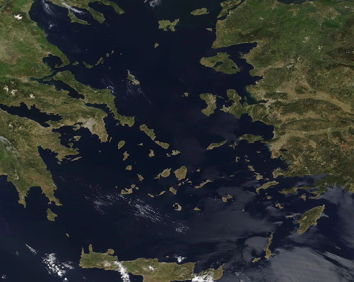
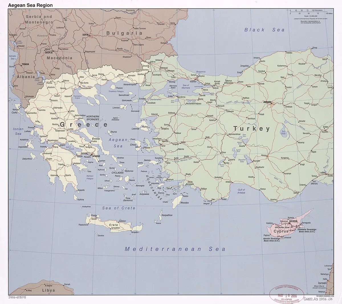
Last updated November 2026. A Greek islands map shows six traditional groups, plus Crete and Evia, and each group works as its own travel zone. Cyclades sit in the central Aegean, Dodecanese and North Aegean islands hug the Turkish coast, and the Ionian Islands lie on the opposite side of the mainland. Read the map as a planning tool first and a list of names second, and the rest of your trip choices get easier. Our Greek islands overview covers the wider picture.
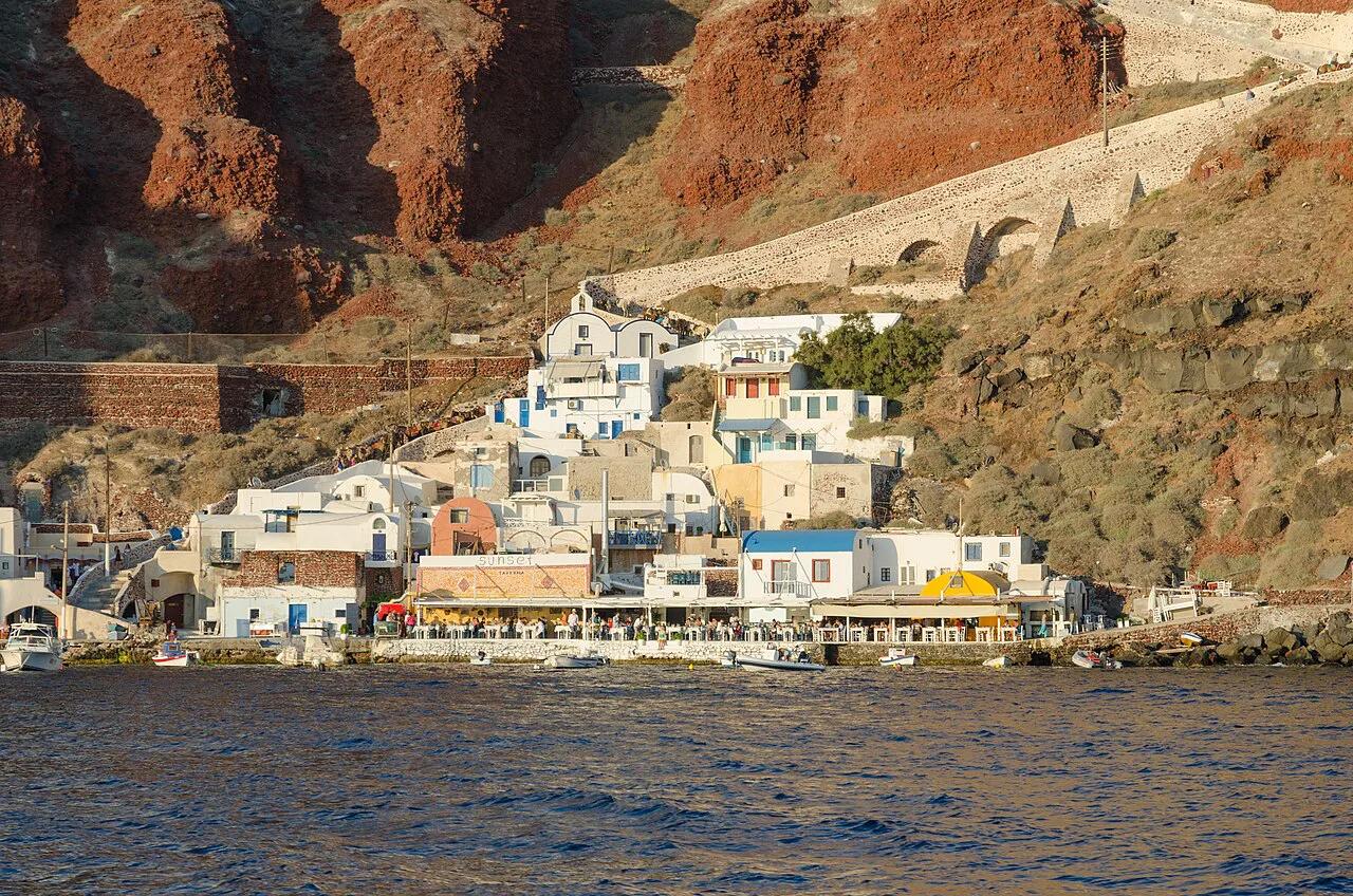
Featured image: User:Ggia, CC BY-SA 3.0, via Wikimedia Commons.
Greek Islands Map: The Quick Answer
Picture mainland Greece with the Aegean Sea to its east and the Ionian Sea to its west. Most islands scatter across the Aegean. The Ionian group sits off the west coast, and Crete closes the Aegean at the southern edge. If you cannot load a map, this text version carries the same information.
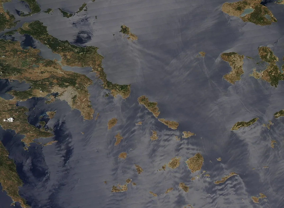
- Saronic Islands: Aegina, Poros, Hydra, Spetses and Salamis, in the Saronic Gulf near Athens.
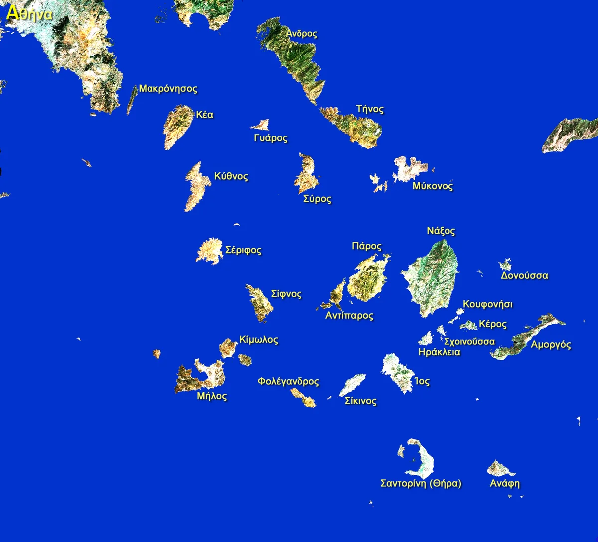
- Cyclades: Mykonos, Santorini, Naxos, Paros and Milos, in the central Aegean southeast of Attica.
- Sporades: Skiathos, Skopelos, Alonnisos and Skyros, a small tight group off the coast of Evia.
- North and East Aegean: Lesbos (Mytilini), Chios, Samos, Lemnos and Ikaria, along the Turkish coast.
- Dodecanese: Rhodes, Kos, Patmos and Symi, in the southeast between Crete and Turkey.
- Ionian Islands: Corfu, Kefalonia, Zakynthos and Lefkada, west of the mainland in the Ionian Sea.
- Crete and Evia (Euboea): traditionally counted outside the six groups.
How to Read the Map: Six Island Groups Plus Crete and Evia
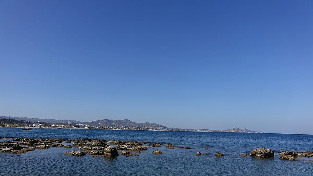
Start with Athens and Piraeus as your anchor. Saronic Islands and Sporades are the nearest groups to Athens or the mainland. Cyclades fan out southeast, scattered like stepping-stones toward Crete. Dodecanese and North Aegean islands sit farther east, so Turkey is often visible on the map before the next Greek island is. Rhodes marks the far southeast. Crete is far to the south. Evia is the second-largest island, and a 60 m-wide strait, the Euripus, separates it from the mainland. Here is the planning insight that matters most: each group runs on its own ferry network. Hopping works well inside a group. Hopping between groups usually means returning through Athens or a mainland port. Our guide to Greek Island Groups: Cyclades, Ionian, Dodecanese & More goes deeper on membership.
Island Groups Compared
Use this table to match a group to your trip. Routes and schedules change by season, so check operators such as Hellenic Seaways for current service. Travel-time words below are relative, not timetable facts.
| Group and position | Main islands | Best for | How to reach | Skip it if |
|---|---|---|---|---|
| Saronic: Gulf near Athens | Aegina, Poros, Hydra, Spetses | Short trips, historic towns | Short ferry from Piraeus | You want long sandy beaches |
| Cyclades: central Aegean | Mykonos, Santorini, Naxos, Paros, Milos | Nightlife, scenery, beaches, hopping | Flights to some islands; ferries from Piraeus | You dislike summer wind and crowds |
| Sporades: off Evia | Skiathos, Skopelos, Alonnisos, Skyros | Pine-covered beaches, quieter pace | Flights to Skiathos; ferries from the mainland | You want to hop across groups |
| North and East Aegean: Turkish coast | Lesbos, Chios, Samos, Lemnos | Fewer crowds, large islands | Flights or longer ferries | You have only a few days |
| Dodecanese: southeast | Rhodes, Kos, Patmos, Symi | History, beaches, resort stays | Flights to the large islands; long ferries from Piraeus | You want a quick Athens add-on |
| Ionian: west of mainland | Corfu, Kefalonia, Zakynthos, Lefkada | Greenery, beaches, sailing | Flights or ferries from western ports | You plan to combine them with Cyclades |
The Ionian Islands (West)
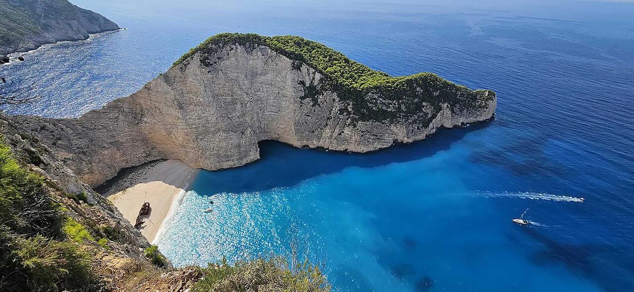
Ionian Islands lie on the other side of the mainland from Athens. That makes them a separate trip, not an add-on to a Cyclades itinerary. Corfu sits in the upper-left of the map, just under Albania. Kefalonia, Zakynthos and Lefkada follow down the coast, and Kefalonia is the largest of them at 781 km². Kythira is officially listed with this group even though it sits far from the others on the map. Ionian islands run greener and wetter than the Aegean. Plan them as their own week, then read beach-focused island picks to narrow the choice.
The North and East Aegean Islands

North and East Aegean islands form a loose chain off Turkey's west coast. Lesbos (Mytilini) is the largest at 1,633 km², and it sits between Chios and Lemnos. Chios covers 842.3 km², and Samos and Lemnos each cover roughly 477 km². Islands this big reward slow travel and a rental car. The chain stays quieter than the Cyclades, and it is easy to skip on a first trip. It is also the place to look if you want a large, lived-in island instead of a resort one.
Lesbos covers 1,633 km², under half the size of Evia's 3,670 km², so it suits slow travel.
- Near the Turkish coast on the map: Lesbos, Chios, Samos, Kos, Rhodes, Symi and Kastellorizo.
- Cross-border ferry rules change, so confirm them with an official source before planning a Turkey crossing.
Cyclades, Dodecanese, Saronic and Sporades: What the Map Doesn't Show
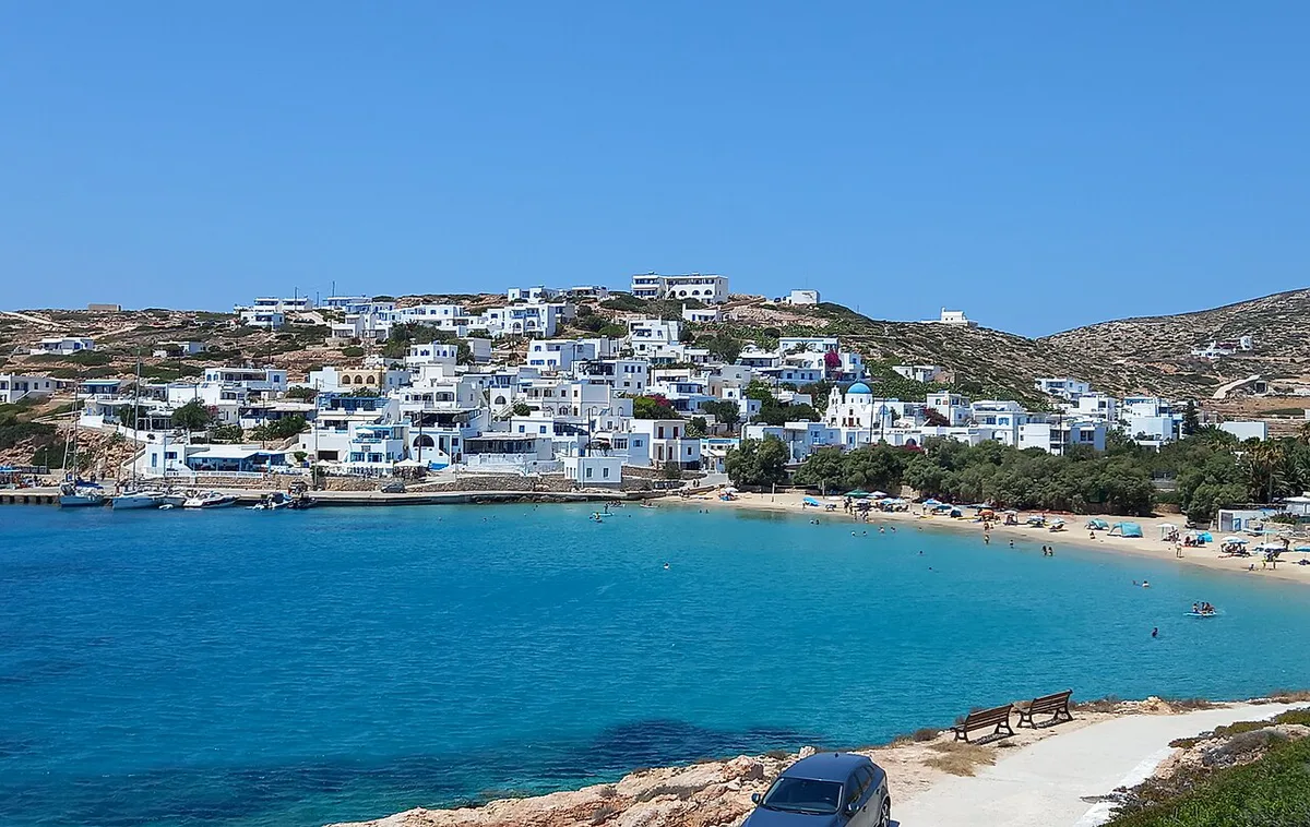
Map distance hides ferry logic. In the Cyclades, Paros works as the ferry hub, so it links well to Naxos, Mykonos and others. A ride from Milos to Sifnos is reported at about 40 minutes. Dodecanese islands are scattered from Agathonisi in the north to Kastellorizo in the south, and the name means twelve even though membership varies by source. Saronic islands suit a short break. Hydra is known as car-free, which suits a quiet day or weekend. Sporades has four main inhabited islands: Alonnisos, Skiathos, Skopelos and Skyros. Sporades is cooler than the Cyclades, and its houses have red-tiled roofs. Use island-hopping routes to see which pairs connect.
Island Size and Population: Why Distance on the Map Is Misleading
Greece has many islands, with estimates from about 1,200 to 6,000 depending on the minimum size counted. Inhabited islands are cited between 166 and 227. Read how many islands exist for the definitions. Size matters more to your itinerary than any count. Crete covers 8,336 km² and has 624,408 residents. Evia covers 3,670 km², Lesbos 1,633 km² and Rhodes 1,401 km². These four need a car and several days. Naxos, at 429.8 km², is the largest Cyclade. Mykonos covers 85.5 km² and Hydra under 50 km², so a day or two covers them. A short hop on the map can still mean a long day on the island.
How the Map Translates to Ferries and Flights
Piraeus is the main port for the Cyclades and Dodecanese, and Piraeus Port Authority publishes port information. Our ferry planning guide explains booking. Not every island has an airport, and small ones such as Sifnos have none. Patmos is reported to have no airport either. Check islands with airports before fixing a flight plan. In summer, the meltemi blows strong from the north across the Aegean. It can disrupt ferries and make exposed beaches rough. The national weather service posts forecasts. Our best-time guide covers seasons. Ionian islands sit on the sheltered western side, so wind matters less there.
Milos to Sifnos is about 40 minutes by sea, and Sifnos has no airport, so plan that leg by ferry.
Which Group to Choose
Match the group to your priorities. For a short trip from Athens, pick a Saronic island. For nightlife and scenery, choose the Cyclades. For pine-covered beaches, head to Skiathos in the Sporades. For history and resort stays, look at Rhodes or Kos. If you want greenery and sailing, go west to the Ionian. Browse the best island ranking or which island suits you to narrow it down. Couples can start with romantic island picks. Official ideas are listed on Visit Greece's island pages. Keep the first trip to one group so ferry links do the work for you.
Common Map Mistakes
Geography causes most planning errors. Avoid these.
- Combining Corfu with Santorini on a short trip: they sit in different seas and different ferry networks.
- Planning cross-group hops that need an Athens or mainland detour.
- Underestimating the distance to the Dodecanese or Crete, which sit far from Athens.
- Assuming every island has an airport: many small ones do not.
- Judging time by map distance instead of island size: Crete alone is 8,336 km².
Frequently Asked Questions
In what order should you visit the Greek islands?
Follow the map by group, not by fame. Start with one group, then move along its ferry network. Return through Athens before a different group. Our hopping guide shows pairs that connect.
What are the two best Greek islands to visit?
It depends on your style. Santorini and Naxos both sit in the Cyclades, so they combine easily. Corfu suits a separate Ionian trip. See our island chooser for more options.
Useful notes for your next island trip
Optional updates to our guides.
You might also like
Continue reading
More guides you'll find useful