
Senja, Norway: Travel Guide, Getting There, Where to Stay
Plan a trip to Senja, an island in Troms, Norway: how to get there, how long to stay, which coast to base on and when to go.
On this page
Last updated November 2026: Senja is an island in Troms, Norway, often described as the country's second-largest island. Covering about 1,523 km² (588 square miles), it joins the mainland by the Gisund Bridge at Finnsnes. Use this guide to pick a coast, a base and a trip length, then browse our island hub for Norway for neighboring options.
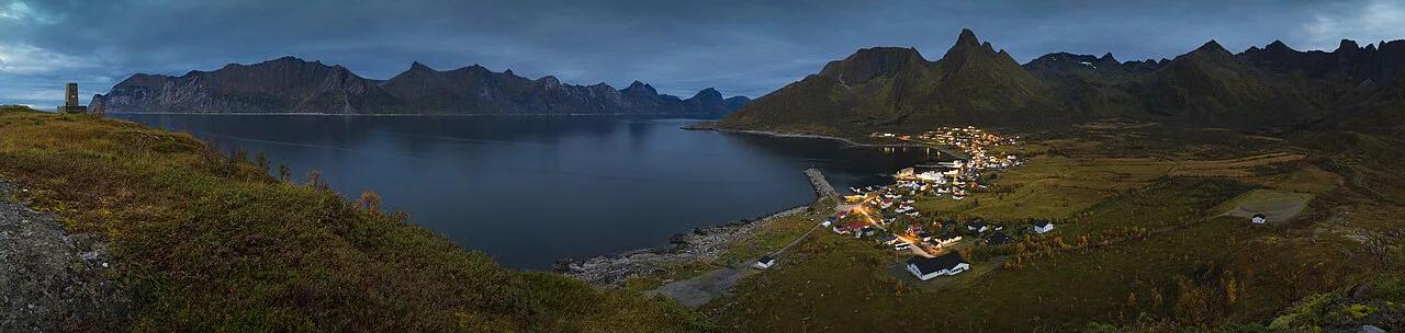
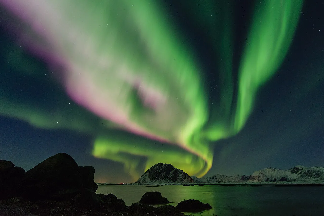
Featured image: Ximonic (Simo Räsänen), CC BY-SA 3.0, via Wikimedia Commons.
What Senja Is and Where It Sits in Norway
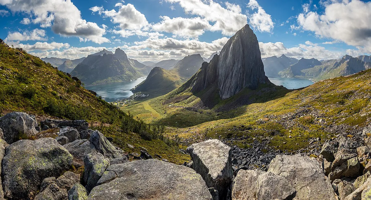
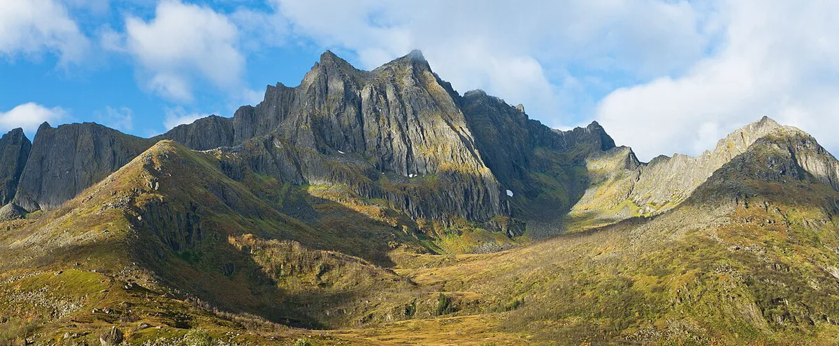
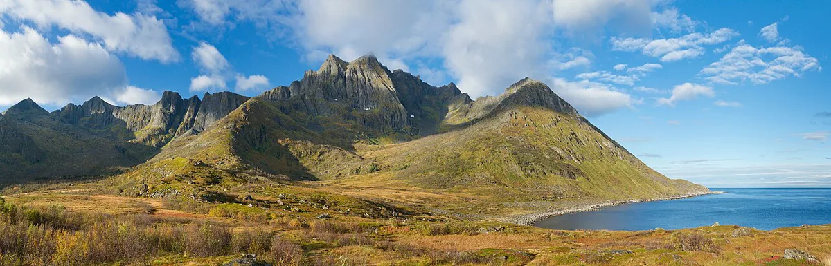
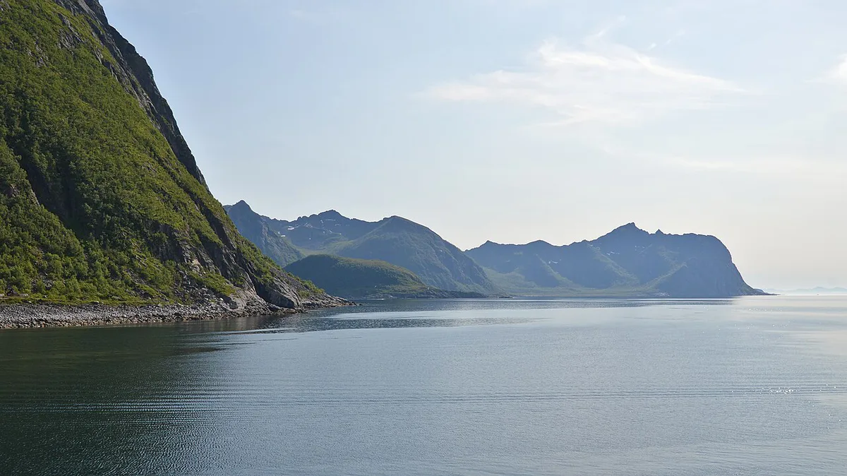
Senja Municipality came into being on 1 January 2020. Berg, Lenvik, Torsken and Tranøy merged to form it, with Finnsnes as the administrative centre. In 2024 it counted 14,894 residents across 1,946 km². The island itself runs about 67.5 km (42 miles) from end to end and about 48.7 km (30 miles) at its widest. Only about 0.6 km (0.4 miles) of water separates it from the mainland. Two coasts define the place. Steep mountains rise straight from the sea in the west, with fishing villages such as Gryllefjord and Husøy tucked into small lowland pockets. Rounder mountains, forests, rivers and farmland mark the east and south. Local planning pages on the Visit Senja site cover current practical details. The island's name has an uncertain origin, possibly linked to "tear" or "split", or to "sandy island".
- Region: Troms, Norway, with Finnsnes as the municipal centre
- Island area: about 1,523 km² (588 square miles)
- Coastline: about 1,289 km (801 miles)
- Highest point in the municipality: Vassbruntinden, 1,202.4 m (3,945 ft), on the border with Målselv
- Mainland link: the Gisund Bridge
Is Senja Worth the Trip?
Senja suits travelers who want mountains, sea and fishing villages on one island, with a bridge at the gate. Lofoten works differently. Start with Lofoten's island chain if you want a longer string of islands to link together. Vesterålen is a further option, and its island Andøya faces Senja's west coast. Read our Vesterålen overview for that side. Compare the places on access, scale and services rather than on crowd rumors.
- Pick Senja for one self-drive base area with sharp contrasts between east and west.
- Pick Lofoten for a longer island chain with more route choices.
- Pick Vesterålen to combine fishing-village scenery with a different island group.
How to Get to Senja
Most visitors arrive by road. Cross the Gisund Bridge at Finnsnes and you are on the island, over a strait about 0.6 km wide. Tromsø and Bardufoss are the usual flight gateways in Troms. Visit Tromsø lists arrival options for the Tromsø side. Work out drive times with a route planner before you book flights. Ferries add a sea route. Ask Torghatten Nord whether a Gryllefjord–Andenes crossing runs on your dates. Check road status and tolls with Statens vegvesen before a long drive.
| Route | Best for | Trade-off |
|---|---|---|
| Drive via Finnsnes and the Gisund Bridge | Full flexibility on both coasts | You drive every remote stretch yourself |
| Fly to Tromsø or Bardufoss, then rent a car | Short trips from far away | Transfer time adds to the first and last day |
| Ferry via Gryllefjord | Linking Senja with Andøya | Timetable and season limit your options |
| Bus from Finnsnes | Travelers without a car | Coverage on the island is limited, so confirm timetables |
How Long to Stay on Senja
Senja is 67.5 km long, but viewpoint stops and trailheads stretch every driving day. Two to three days is a workable minimum for a first visit. A week lets you absorb weather delays on mountain days. Use the table as logic, not as a fixed itinerary.
| Trip length | What fits | What to skip |
|---|---|---|
| Day trip | Finnsnes, Silsand and one viewpoint | West coast villages |
| 2–3 days | A scenic route drive, one hike and a night on the west coast | Slow exploring of both coasts |
| About a week | Both coasts, several hikes and spare weather days | Nothing major, but book lodging early |
Best Things to Do on Senja
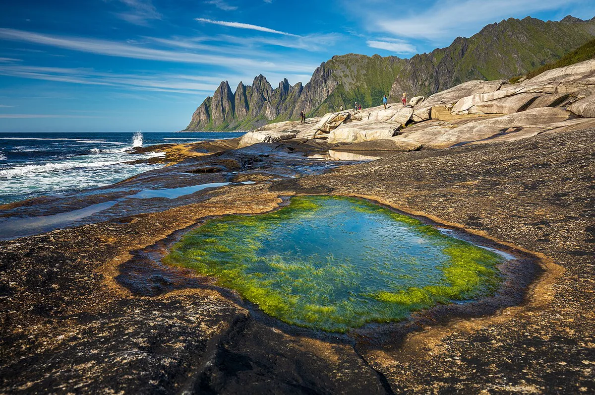
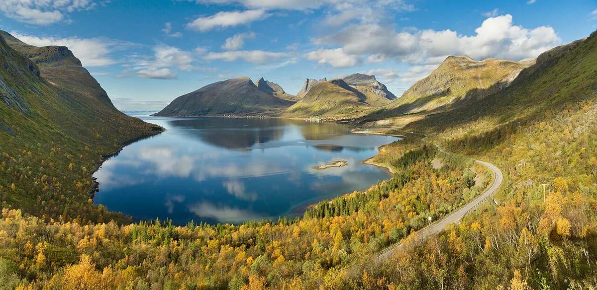
National Tourist Route Senja is the island's signature drive. Its stops include Bergsbotn and Tungeneset. Tungeneset looks across Ersfjorden toward the Okshornan peaks. Those peaks also appear on the municipal coat of arms, beneath green northern lights. Hikers head for Segla and Husfjellet. Mountain weather turns fast, so read trail advice from local tourism offices before you set out. Group your days by coast to limit backtracking.
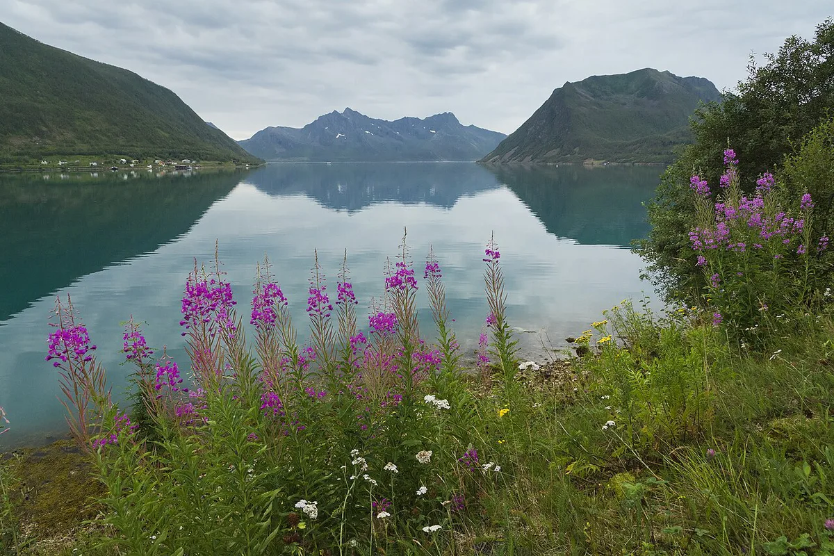
- West and north-west: Gryllefjord and Husøy, fishing villages between steep mountains and the sea; Tungeneset for the Okshornan view.
- East and south: Finnsnes, Silsand and Gibostad for services, plus Ånderdalen National Park with coastal pine forests and mountains.
- Culture stop: the Halibut Museum in Skrolsvik covers local history.
- Hiking safety: carry layers, check the forecast, and turn around if cloud closes in on Segla or Husfjellet.
Where to Stay on Senja and Which Coast to Base On
Senja offers hotels, holiday homes, B&Bs and camping. Five campsites appear in regional listings, named below. Check each one's current status before you plan around it. Lodging is thinner in the villages, since Gryllefjord has about 390 residents and Husøy about 240. Book early for July and August. Costs run higher for hotels than for camping, but get current rates from Visit Senja or the property itself.
| Base | Suits | Trade-off |
|---|---|---|
| Finnsnes and Silsand | Arrivals, shops, fuel and a gentler first night | Farther from the west coast viewpoints |
| Gryllefjord and Husøy | West coast scenery and fishing-village atmosphere | Few lodging choices and fewer services |
| Gibostad and Botnhamn | A middle position between services and scenery | Check the drive to your target hike |
- Skaland Camping
- Fjordbotn Camping
- Skoghus Leirsted
- Senja camping
- Skatvik Camping
Getting Around Senja
Plan on a car. The island runs 67.5 km east to west, and services thin out toward the coast. Silsand is the largest settlement at about 1,366 residents, so refuel in Silsand or Finnsnes before heading west. Treat bus options as limited and verify timetables before relying on them. Statens vegvesen publishes road status and any tolls. Allow slack in the schedule for photo stops.
Best Time to Visit Senja
Senja lies at about 69°N. At that latitude the sun stays up around the clock for part of summer and sets for weeks in winter. Check exact dates with Yr or Visit Tromsø before you plan around them. The east side is less windy, with warmer summers and colder winters. Laukhella averages 13.5°C (56°F) in July and −3.9°C (25°F) in January. Hekkingen Lighthouse, closer to west-coast conditions, averages 11.8°C (53°F) in July and 0.3°C (33°F) in December. Laukhella sees 117 mm of rain in September and 114 mm in October, against 1,120 mm (44 inches) for the year. Northern lights even feature on the municipal coat of arms. Viewing still depends on dark, clear nights, so keep spare evenings free. Compare aurora timing on Lofoten, though its dates do not transfer directly.
| Season | What to expect |
|---|---|
| Summer | Midnight sun, mild temperatures and the easiest trail access |
| Autumn | Wetter months, with September and October the rainiest at Laukhella |
| Winter | Polar night, cold coastal weather and aurora chances |
| Spring | Shoulder season; some services may be limited, so ask hosts |
Common Mistakes to Avoid on Senja
Most Senja plans go wrong in logistics rather than scenery. Fix the details below early. Weighing other islands? Compare Sommarøy and Runde Island, Norway: Bird Cliffs, Puffins & How to Visit for contrast.
- Treating Senja as a short hop: the island is 67.5 km long, so west coast days need time.
- Skipping fuel: refill in Silsand or Finnsnes before driving to Gryllefjord.
- Hiking Segla or Husfjellet in poor weather without checking conditions first.
- Relying on buses: coverage beyond Finnsnes is limited.
- Booking late for July and August in small villages.
- Planning only one night for the northern lights: cloud cover can cancel it.
Frequently Asked Questions
What is Senja known for?
Senja is known for steep west-coast mountains that rise straight from the sea. Fishing villages such as Gryllefjord and Husøy sit between those peaks and the shore. Tungeneset and the Okshornan peaks are its best-known viewpoint view.
Is Senja free?
Senja is an open island, so there is no gate fee for the island itself. Lodging, ferries, parking and guided activities carry their own costs. Check Visit Senja and each operator for current rates.
Useful notes for your next island trip
Optional updates to our guides.
You might also like

Continue reading
More guides you'll find useful