
Where Is Madeira? Location, Distance and Getting There
Madeira is a Portuguese island in the North Atlantic. See where it is, how far it sits from Lisbon and the Canaries, and how to get there.
On this page
Last updated November 2026: where is Madeira, exactly? It is a Portuguese island in the North Atlantic Ocean, roughly 1,000 km (about 620 miles) southwest of Lisbon. Madeira is an autonomous region of Portugal, so it is not part of Spain or Africa.
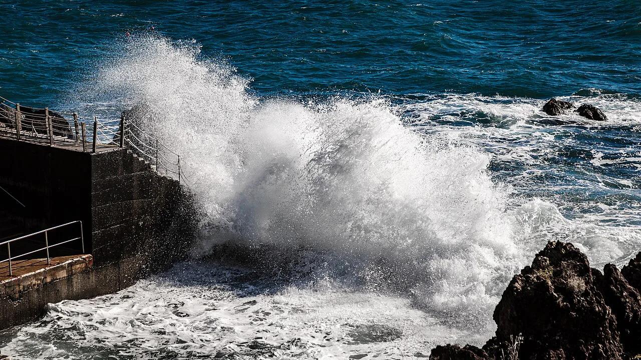
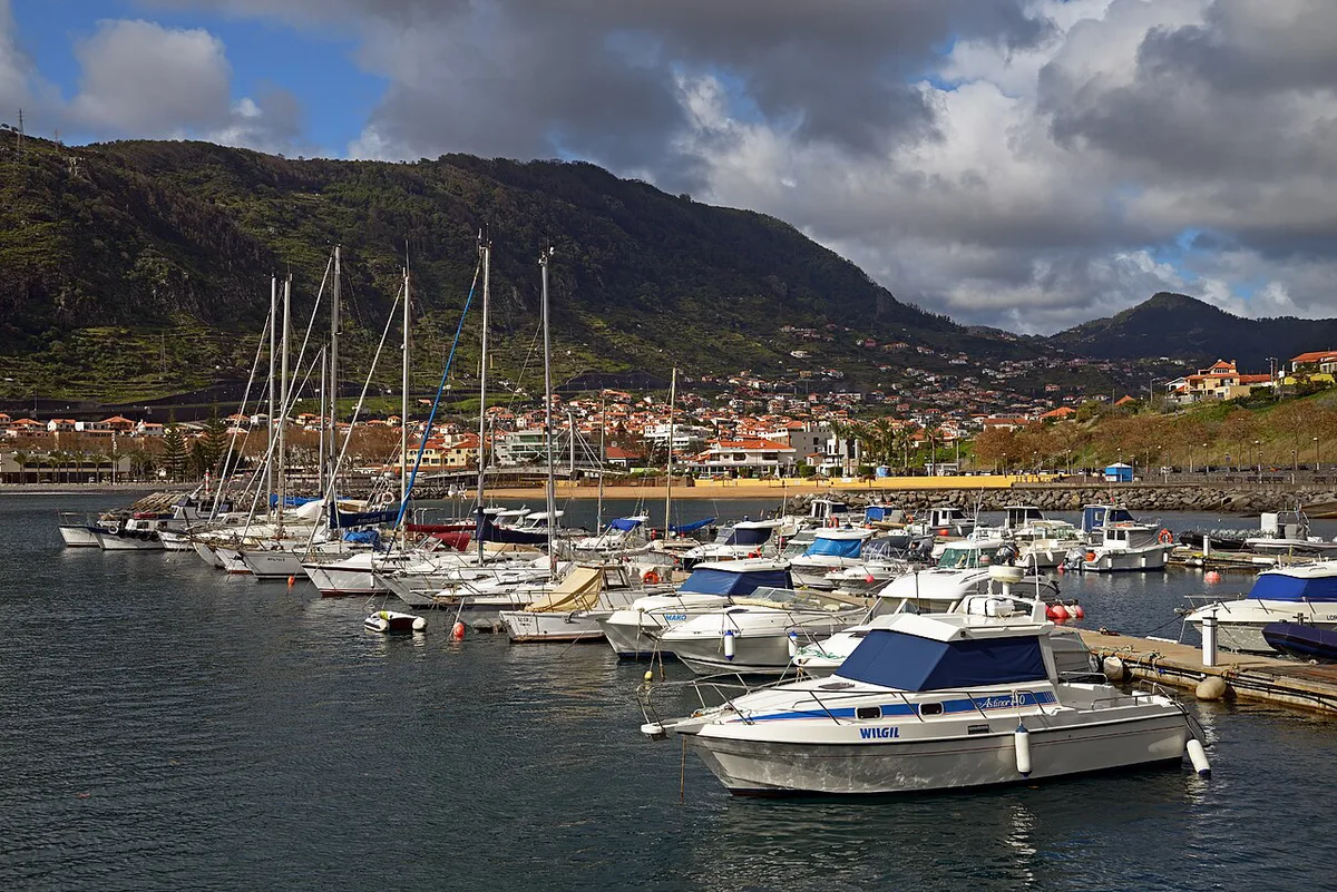
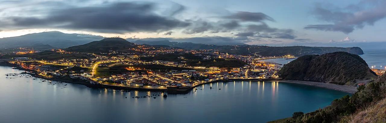
Featured image: Dietmar Rabich, CC BY-SA 4.0, via Wikimedia Commons.
Where Madeira is: the quick answer
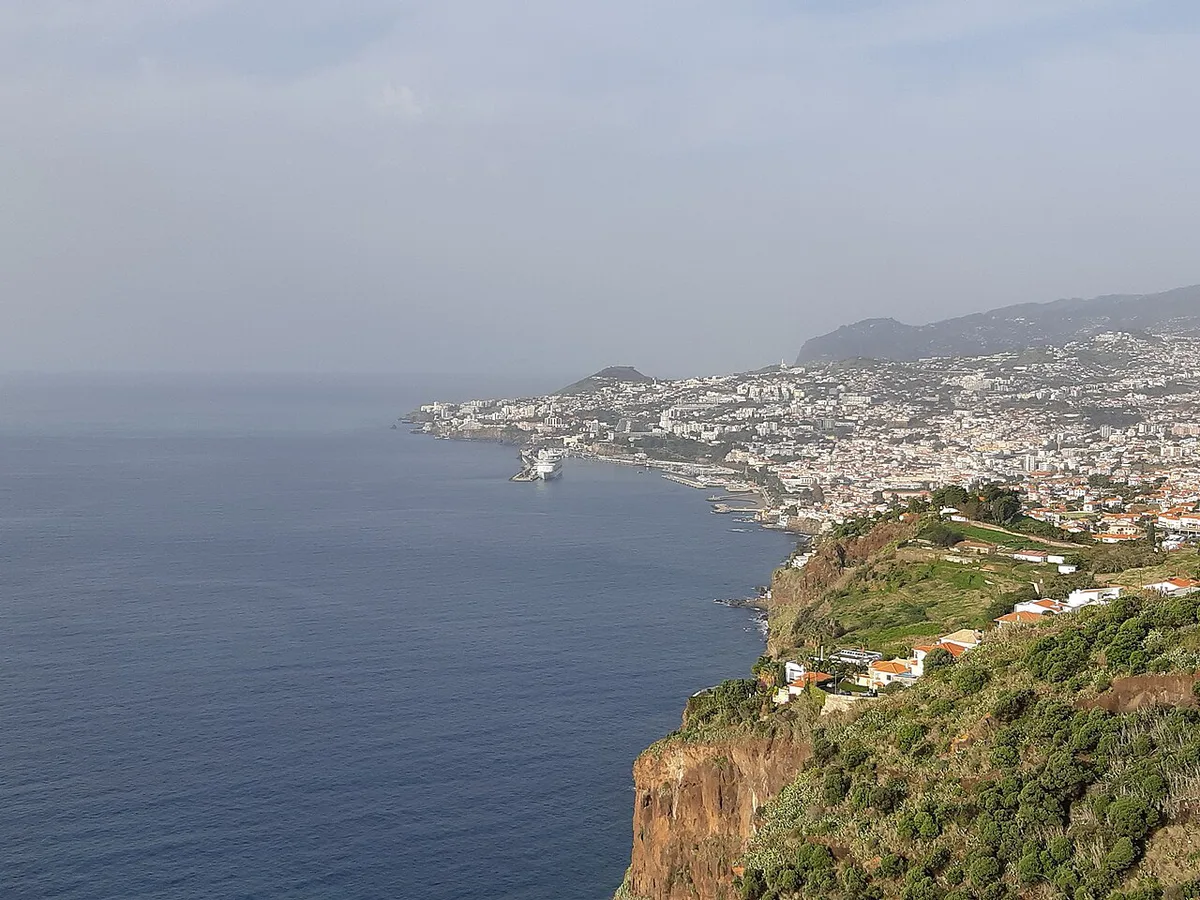
Madeira sits in the North Atlantic and forms the main island of a small Portuguese archipelago. Lisbon is roughly 1,000 km away, and published figures run from 960 km to 1,000 km. The Moroccan coast lies several hundred kilometers from the island. Funchal, on the south coast, is the capital and the main base for visitors. For official island facts and visitor information, start with Madeira's official tourism site.
Is Madeira in Portugal, Spain or Africa?
Madeira is Portuguese. Its status is an autonomous region, which means local government handles many regional matters under Portugal's constitution. You can read about regional administration on the Madeira Regional Government site. Euros are the currency, and Portuguese is the main language. English is widely spoken in hotels, restaurants and attractions.
- Madeira is not in Spain. The Canary Islands are the Spanish archipelago people often confuse with it.
- Madeira is not in Africa, although it lies closer to the African coast than to mainland Portugal.
- Madeira is not next to the Azores islands. Those islands are a separate Portuguese archipelago roughly 950 km away.
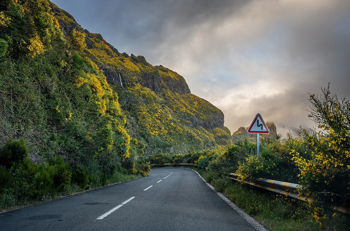
- An island this steep takes longer to cross than its size suggests, so plan driving days with slack.
How far is Madeira from Lisbon, the Canaries and Morocco?
No overland route exists, so every trip starts with a flight or a ship. Distances vary slightly between published sources, which is why the table gives ranges. Flight routes and schedules change by season, so check airline timetables for your departure city. For a detailed comparison with the Spanish islands, read our guide to Madeira versus the Canary Islands. Our Madeira and Tenerife comparison covers that single-island choice.
| Place | Distance from Madeira | Fly or connect? |
|---|---|---|
| Lisbon (mainland Portugal) | About 960–1,000 km | Direct flights are the simple choice; Lisbon is also the usual connection point |
| Azores | About 950 km | Not a quick hop; plan a separate flight and a connection |
| Morocco | Several hundred km | No practical direct link for most visitors; fly via Lisbon or another European hub |
| Canary Islands | Closer than the mainland, but no figure quoted here | Check current routes; do not assume a quick island hop |
The Madeira archipelago at a glance
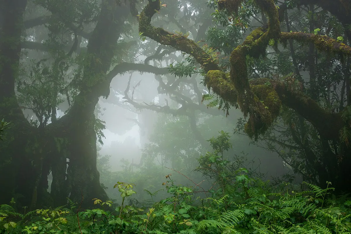
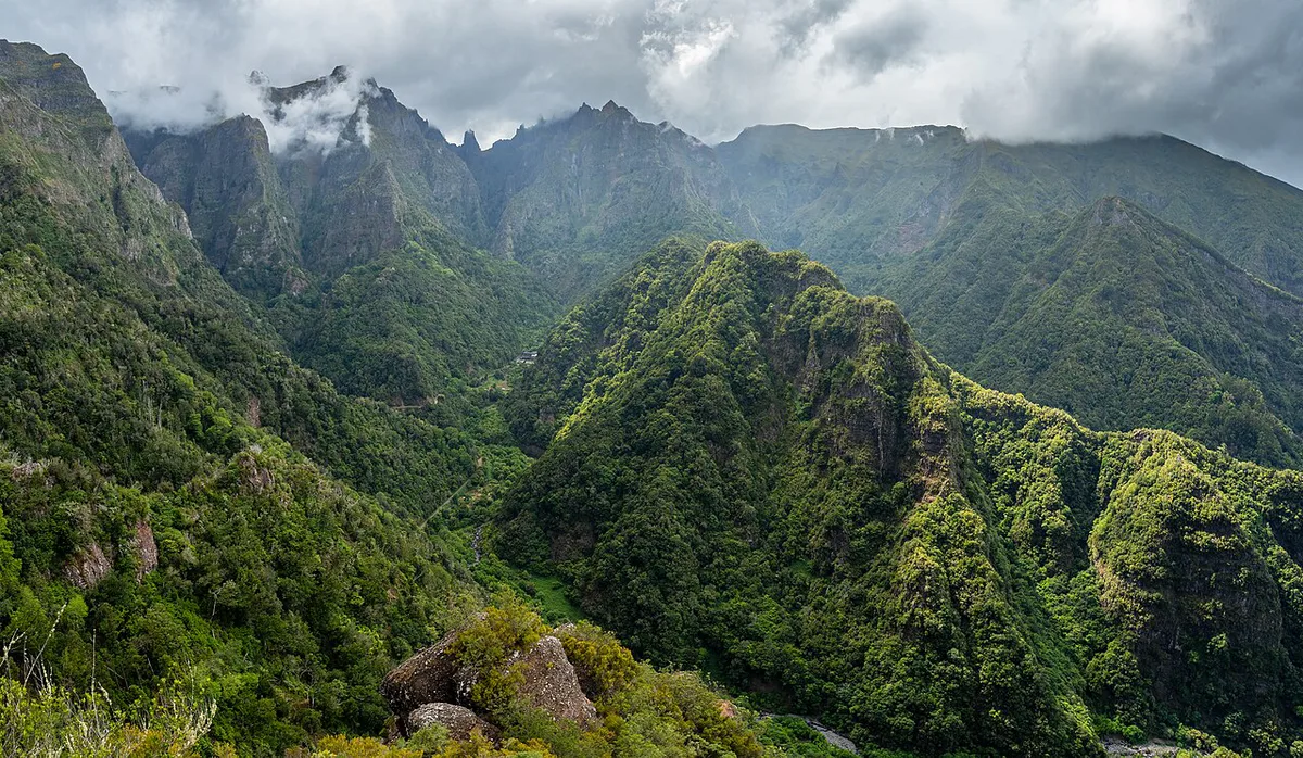
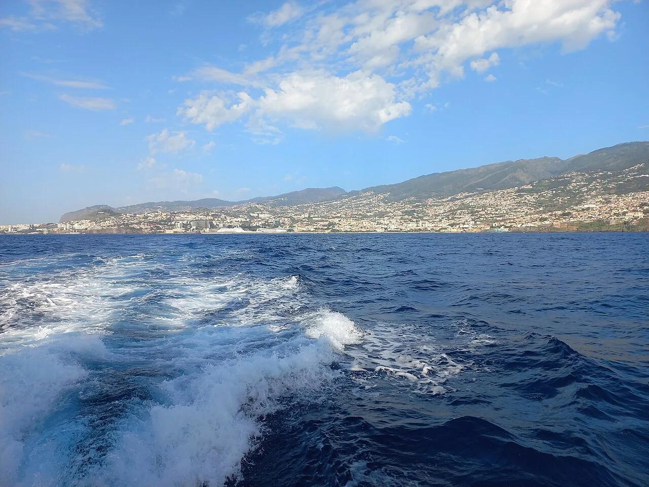
Madeira island is 56 km long and 19 km wide, with a land area of about 797 km². Volcanic peaks rise to 1,862 m at Pico Ruivo, then drop sharply to the sea. The south coast is sunnier, while the north is greener and wetter. For a deeper look at the main island, start with our Madeira island guide. Porto Santo lies about two hours away by boat and has a sandy beach roughly 9 km long. Our Porto Santo guide explains the ferry and island layout. The uninhabited Desertas are a nature reserve reached by boat trip, and our Desertas Islands guide covers them.
Pico Ruivo rises to 1,862 m, and this steep island takes longer to cross than its size suggests.
Levada walks and hiking: what Madeira is known for
Madeira's reputation rests on its walking. The island is crossed by levadas, narrow irrigation channels built from the 16th century to carry water from the wet north and highlands to the drier south. More than 2,000 km of them exist, and many have a maintenance path alongside that doubles as a trail.
Much of the island's interior is laurel forest, Laurisilva, which UNESCO listed as a World Heritage site in 1999. It is one of the largest surviving areas of this forest type.
Three walks that show the range
- Pico do Arieiro to Pico Ruivo: the best-known high-mountain route, about 11 km one way with steep steps and several tunnels. Carry a head torch and plan transport back, because it is not a loop.
- Levada do Caldeirão Verde: a green, shaded route in the north near Queimadas, with waterfalls and short dark tunnels.
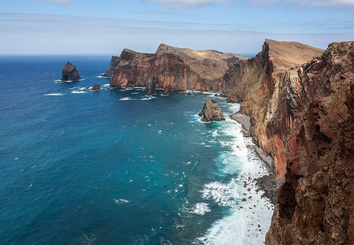
- Ponta de São Lourenço: an exposed coastal path on the dry eastern peninsula, with little shade and big sea views.
Paths can close after heavy rain or landslides, and some popular routes charge a small entry fee. Check the current status on the official Visit Madeira site before you set out. Weather changes quickly with altitude, so a light waterproof is worth carrying even on a sunny morning in Funchal.
Which part of Madeira to base yourself in
Geography shapes where you stay. Funchal has the largest choice of hotels and restaurants, and the airport is about 20 minutes east of the city. The north coast around Santana, São Vicente and Porto Moniz is quieter and rainier. Ponta de São Lourenço is the dry eastern peninsula. Many visitors base themselves in Funchal and drive out on day trips.
| Base | Weather | Hotel choice | Car needed? | Trade-off |
|---|---|---|---|---|
| Funchal and the south coast | Sunnier | Largest choice | Helpful, not essential | Longer drives to the north coast |
| North coast (Santana, São Vicente, Porto Moniz) | Greener and wetter | Smaller | Yes, for most plans | Quieter, but farther from the airport |
| East (Ponta de São Lourenço) | Dry, exposed landscape | Limited | Yes | Best for short coastal walks |
| Porto Santo | Beach island | Smaller than Madeira | Less needed | About 2 hours by boat from Madeira |
What to eat and drink in Madeira
Wherever you base yourself, the local menu is much the same, built around fish, beef, sweet potato and sugar cane. These are the dishes and drinks worth looking for.
- Espetada: beef cubes rubbed with garlic and salt, grilled on a bay laurel skewer and often hung over the table.
- Espada com banana: black scabbardfish, a deep-sea species caught around the island, usually served fried with a local banana.
- Bolo do caco: a round flatbread cooked on a stone slab and served warm with garlic butter.
- Poncha: the island's signature drink, made from sugar cane spirit, honey and lemon or orange juice. A glass typically costs a few euros in a bar.
- Madeira wine: a fortified wine produced here since the colonial era. Styles run from dry (Sercial) to sweet (Malvasia), and cellars in Funchal offer tastings.
Prices are generally lower in the small village restaurants on the north coast than in central Funchal. Menus are in Portuguese and English, so ordering is rarely a problem.
How to get to Madeira
Funchal's airport, code FNC, is the main entry point. It handles direct flights from many European cities, and the runway is partly supported by concrete pillars over the ocean. Current routes and arrival information are on the Madeira Airport page. A simple rule works well. Book a direct flight if your departure city has one. Otherwise, connect via Lisbon, which is the most common hub. Our guide to getting to Madeira compares the options. A separate page covers the Lisbon to Madeira leg. Porto Santo's ferry timetable is on the Porto Santo Line site.
Flying into FNC means the city is about 20 minutes away, while a Lisbon connection adds a stop before you arrive.
When to go and how long to stay
April to October brings warm weather for hiking and swimming. Spring suits flowers and green scenery, while September and October combine warm seas with fewer crowds. Month-by-month detail is in our Madeira Weather by Month: Temps, Rain & Sea Guide page. For a broader timing decision, use the Best Time to Visit Madeira: Season-by-Season Guide guide. Autumn travelers should read about Madeira in October: Weather, Things to Do and Tips. Five to seven days suits a first visit. That is enough for Funchal, a levada walk, a coastal drive and Porto Moniz. If you are still weighing the trip, our Is Madeira Worth Visiting? Honest Verdict by Traveller guide helps you decide.
Frequently Asked Questions
In which country is Madeira located?
Madeira belongs to Portugal. It is an autonomous region in the North Atlantic, roughly 1,000 km from Lisbon.
What currency is used in Madeira?
Madeira uses the euro (€), the same currency as mainland Portugal.
Is Madeira, Portugal worth visiting?
Yes, if you want mountain scenery, levada walks and a mild climate without a long-haul flight. Five to seven days suits a first visit.
Useful notes for your next island trip
Optional updates to our guides.
You might also like

Continue reading
More guides you'll find useful